

Map by Chief Ochagach for Verendrye
Map drawn on birch bark by Chief Ochagach for Verendrye, about 1729
- Date
- 1729
- Mapmaker / publisher
- Chief Ochagach
- Place
- Ontario
- Archive
- Wikimedia Commons
- Type
- map
- Original size
- 3,296 × 1,162 pixels
Public domainsafest
Reason: its maker died more than 70 years ago.
Read from: Commons licence category: PD-old-70-expired; no CC BY, CC BY-SA, GFDL or deletion tag on the file page.
Credit line
"Map by Chief Ochagach for Verendrye" (1729). Chief Ochagach, via Wikimedia Commons. Public domain. https://commons.wikimedia.org/wiki/File:Map_by_Chief_Ochagach_for_Verendrye.jpgNeed maps for a whole project? Add Find Any Map to Claude and ask for this one by its id: 293583.
More like this

1896 sketch of the Grand Falls portage, in Labrador
1896 · Wikimedia Commons

Hudson's Bay's country after La Veranderie, about 1740.
1850 · Library of Congress

A map of the north west parts of America, with the utmost respect, inscrib'd to His Excellency, Sir Guy Carleton, Knight of the Bath- Captain General and Governor of the province of Quebec- General
1776 · Library of Congress

Carte du Lac Ontario et de la Riviere jusques au dela de L Isle de Montreal celle de Niagara et partie du Lac Erie
October 11, 1726 · Wikimedia Commons

Photograph of a deerskin map translated in imitation of another prepared by a Catawba chieftain and given to South Carolina colonial Governor Francis Nicholson in 1721. The original is now in the Brit
c. 1724 · Library of Congress

Carte de la riviere Longue - et de quelques autres, qui se dechargent dans le grand fleuve de Missisipi (sic).; Carte que les Gnacsitares - ont dessine sur des paux de cerfs.
1703 · Library of Congress

Geography 063 - First map of the Mississippi River
1673 · Wikimedia Commons
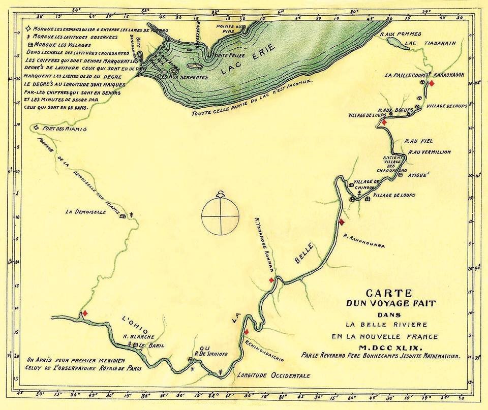
Carte d un voyage fait dans la Belle Riviere en la Nouvelle France M.DCC XLIX. Par le Reverend Pere Bonnecamps Jesuite Mathematicien
1749 · Wikimedia Commons