

Map and profile of the Cañada de las Uvas - from explorations and surveys
Scale 1:60,000. At head of title: Routes in California to connect with the routes near the 32nd and 35th Parallels. Relief shown by hachures. From U.S. War Department, Explorations and Surveys for a Railroad Route from the Mississippi River to the Pacific Ocean. Topographical Maps. to Illustrate the Various Reports. (Washington, 1859)
- Date
- 1853
- Mapmaker / publisher
- Williamson, R. S. (Robert Stockton); Davis, Jefferson; Parke, John G.; Williams Smith, Issac; Siebert, Selmar; United States. War Department; Williamson, R. S
- Place
- California
- Scale
- 1:60,000
- Archive
- Library of Congress (via Wikimedia Commons)
- Type
- map
- Original size
- 9,227 × 6,750 pixels
Public domainsafest
Reason: its maker died more than 100 years ago.
Read from: Commons licence category: PD-old-100-expired; no CC BY, CC BY-SA, GFDL or deletion tag on the file page.
Credit line
"Map and profile of the Cañada de las Uvas - from explorations and surveys" (1853). Williamson, R. S. (Robert Stockton); Davis, Jefferson; Parke, John G.; Williams Smith, Issac; Siebert, Selmar; United States. War Department; Williamson, R. S. Library of Congress, Geography and Map Division, via Wikimedia Commons. Public domain. https://commons.wikimedia.org/wiki/File:Map_and_profile_of_the_Ca%C3%B1ada_de_las_Uvas_-_from_explorations_and_surveys_LOC_98688417.jpgNeed maps for a whole project? Add Find Any Map to Claude and ask for this one by its id: 15107.
More like this
Guadalupe Canyon, Arizona: USGS topographic map, 1:62,500 (1958)
1958 · 3 editions
Mountain Springs Canyon, California: USGS topographic map, 1:62,500 (1953)
1953 · 4 editions
Grapevine Peak, California: USGS topographic map, 1:62,500 (1957)
1957 · 3 editions
Grapevine, California: USGS topographic map, 1:24,000 (1958–1995)
1958–1995 · 5 editions
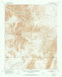
Wingate Wash, California: USGS topographic map, 1:62,500 (1950)
1950 · 4 editions
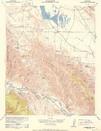
Caliente Mtn, California: USGS topographic map, 1:62,500 (1942–1959)
1942–1959 · 3 editions
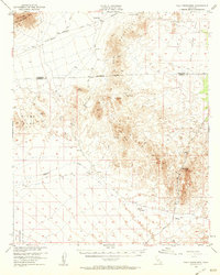
Palo Verde Mountains, California: USGS topographic map, 1:62,500 (1953)
1953 · 3 editions
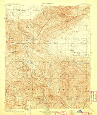
Tejon, California: USGS topographic map, 1:125,000 (1903)
1903 · 7 editions