

Mao Kun map - Singapore
A Mao Kun map showing Singapore and part of the east coast of the Malay peninsula. (early Singapore; " ) is marked at the top left corner, others identified by Wheatley are (琵琶嶼), Blakang Mati (長腰嶼, ), (白礁), (將軍帽), (東竹山 and 西竹山), estuary (彭杭港), and (苧麻山). (龍牙門) on the map is said to mark the entrance to. Note that different sources may identify the islands differently, especially the islands of Singapore. J. V. G. Mills for example identified 長腰嶼 as Pulau Satumu and 琵琶嶼 as Pulau Sakijang Pelepah.
- Mapmaker / publisher
- Mao Yuanyi (1594–1640?), editor of the Wubei Zhi; and an unknown cartographer
- Place
- Singapore
- Archive
- Wikimedia Commons
- Type
- map
- Original size
- 1,289 × 555 pixels
Public domain
Reason: its maker died more than 100 years ago.
This status rests on the map's publication history, as researched by Wikimedia Commons. Check it before commercial use.
Read from: Commons licence category: PD-old-100-expired; no CC BY, CC BY-SA, GFDL or deletion tag on the file page.
Credit line
"Mao Kun map - Singapore". Mao Yuanyi (1594–1640?), editor of the Wubei Zhi; and an unknown cartographer, via Wikimedia Commons. Public domain. https://commons.wikimedia.org/wiki/File:Mao_Kun_map_-_Singapore.pngNeed maps for a whole project? Add Find Any Map to Claude and ask for this one by its id: 240350.
More like this

Wu bei zhi
1644 · 17 sheets
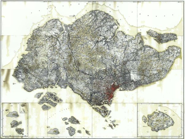
A composite map of Singapore with islands (including insets), made up of 16 small-scale maps, by the Surveyor General of the Federated Malay States and Straits Settlements. The inset on the right show
1924 · Wikimedia Commons

Singapore 1830 map by John Murray
1830 · Wikimedia Commons

Map of Fengshan County, Taiwan Prefectural Gazetteer, 1696
1696 · Wikimedia Commons

Part of Singapore Island detail.
June 18, 1825 · Wikimedia Commons

Ryukyu koku zu
1503 · Wikimedia Commons

Mouth of the Yangtze 1754
1754 · Library of Congress

Guang yu tu - er juan
1558 · Jiangsu, plate 37