

Manchukuo Map from Manchuria Travel Bookmark
- Date
- 1945
- Mapmaker / publisher
- 南満洲鉄道株式会社
- Place
- Manchukuo
- Archive
- Wikimedia Commons
- Type
- map
- Original size
- 1,368 × 985 pixels
Public domain
Reason: published outside the US before 1996 and already public domain in its home country then.
This status rests on the map's publication history, as researched by Wikimedia Commons. Check it before commercial use.
Read from: Commons licence category: PD-1996 (with a reason); no CC BY, CC BY-SA, GFDL or deletion tag on the file page.
Credit line
"Manchukuo Map from Manchuria Travel Bookmark" (1945). 南満洲鉄道株式会社, via Wikimedia Commons. Public domain. https://commons.wikimedia.org/wiki/File:Manchukuo_Map_from_Manchuria_Travel_Bookmark.pngNeed maps for a whole project? Add Find Any Map to Claude and ask for this one by its id: 23601.
More like this

Map of Manchuria 1942
August 31, 1942 · Wikimedia Commons

Coloured map of Manchuria
Wikimedia Commons
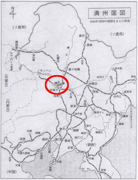
Manchuria-map1944
August 14, 2016 · Wikimedia Commons

MONGOLIA and MANCHUKUO
1936 · Wikimedia Commons

The map of Kwantung Leased Territory
1936 · Wikimedia Commons

Changchun 1932 - Plan 1
1932 · Library of Congress

Changchun 1932 - Plan 3
1932 · Library of Congress

Changchun 1932 - Plan 7
1932 · Library of Congress