

Madras 1955 reduced
Madras city in 1955
- Date
- 1955
- Mapmaker / publisher
- U. S. Army Map service
- Place
- Chennai
- Archive
- Wikimedia Commons
- Type
- map
- Original size
- 1,222 × 1,590 pixels
Public domainsafest
Reason: a US government work (US Army).
Read from: Commons licence category: PD US Army; no CC BY, CC BY-SA, GFDL or deletion tag on the file page; permission field: PD.
Credit line
"Madras 1955 reduced" (1955). U. S. Army Map service, via Wikimedia Commons. Public domain. https://commons.wikimedia.org/wiki/File:Madras_1955_reduced.jpgNeed maps for a whole project? Add Find Any Map to Claude and ask for this one by its id: 255879.
More like this

Map India and Pakistan 1-250,000 Tile ND 44-10 Madras and Vicinity
1955 · Wikimedia Commons

Madras map
1843 · Wikimedia Commons

Map India and Pakistan 1-250,000 Tile ND 44-10 Madras
1955 · Wikimedia Commons

Madras (Baedeker, 1914)
1914 · Wikimedia Commons

Thanjavur town in 1955
1955 · Wikimedia Commons
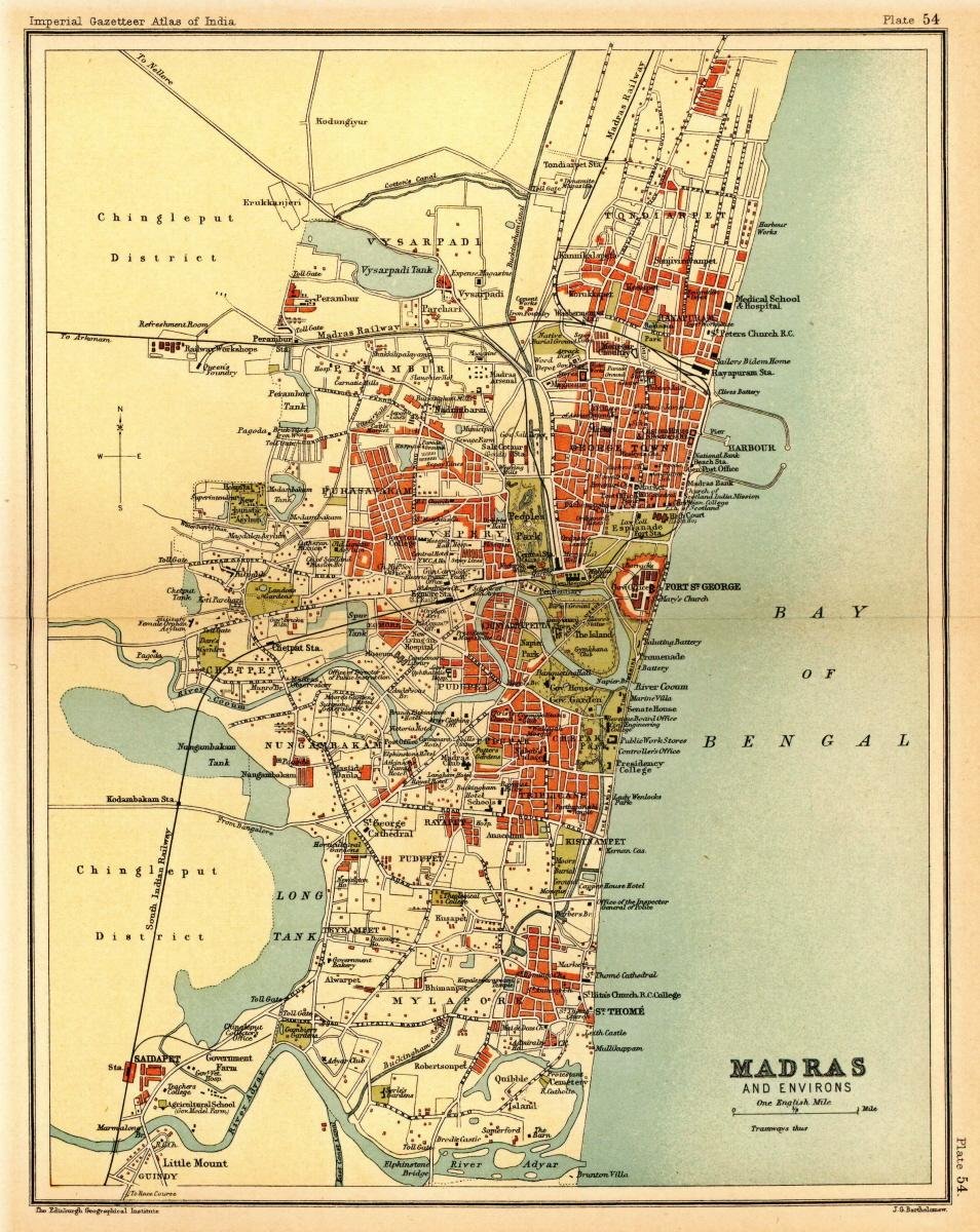
Map of the presidency town of Madras from Imperial Gazetteer of India, volume 26, Atlas, Oxford University Press. 1908. Scanned from personal copy, reduced, and uploaded by Fowler&fowler «Talk» 21:49,
1908 · Wikimedia Commons

1821 - 40 - 17 1834 Environs of Madras from surveys by Apprentices
1834 · Wikimedia Commons

Report on the Medical Topography and Statistics of the Presidency Division of the Madras army, including Fort St. George, and its dependencies, within the limits of the Supreme Court
Map of the town of Madras and its limits