

London Hoefnagel's Map of 1572
Joris Hoefnagel engraved many of the maps for Braun & Hogenburg's "Civitates Orbis Terrarum", from which this map is taken. The original is 19 x 12.75 inches. The inclusion of the steeple of St Paul's (destroyed in 1561) indicates that this map was taken from existing surveys.
- Date
- August 14, 2009
- Mapmaker / publisher
- Mike Calder, image of Joris Hoefnagel's Map of London, 1572
- Place
- London by Braun & Hogenberg
- Archive
- Wikimedia Commons
- Type
- map
- Original size
- 2,580 × 1,899 pixels
Public domain
Reason: public domain: self.
This status rests on the map's publication history, as researched by Wikimedia Commons. Check it before commercial use.
Read from: Commons licence category: PD-self; no CC BY, CC BY-SA, GFDL or deletion tag on the file page.
Credit line
"London Hoefnagel's Map of 1572" (August 14, 2009). Mike Calder, image of Joris Hoefnagel's Map of London, 1572, via Wikimedia Commons. Public domain. https://commons.wikimedia.org/wiki/File:London_Hoefnagel%27s_Map_of_1572.jpgNeed maps for a whole project? Add Find Any Map to Claude and ask for this one by its id: 140765.
More like this

Antique map of London by Braun & Hogenberg
1572–1624 · Wikimedia Commons

Londinum Feracissimi Angliae Regni Metropolis
1572 · BM G,2.3

Civitates orbis terrarvm, liber primvs
Wikimedia Commons

Civitas Londinum: the Agas Woodcut map of London
1561 · Wikimedia Commons

Civitas Londinum Ano Dni circiter MDLX
1737 · 7 sheets
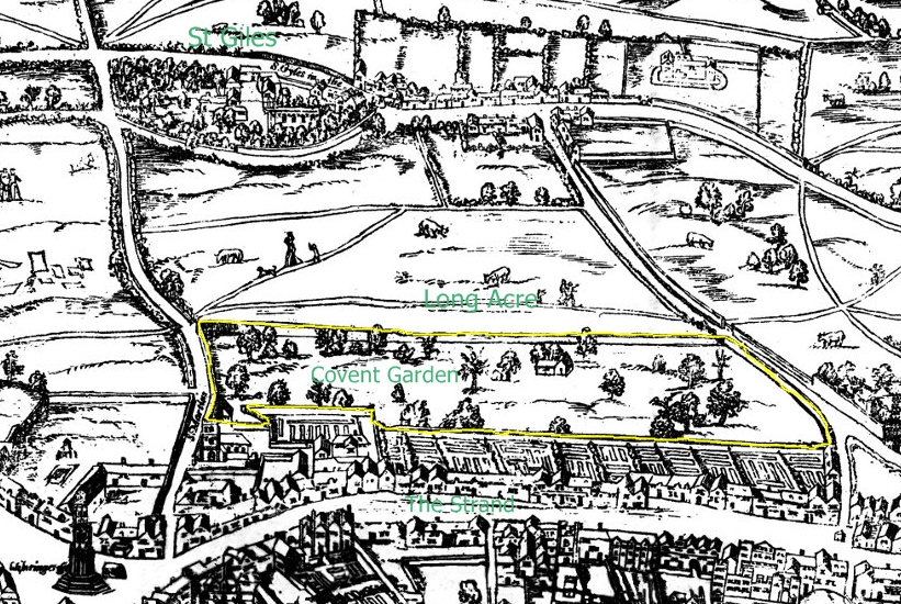
Covent Garden from the Ralph Agas 1572 map of London
1572 · Wikimedia Commons
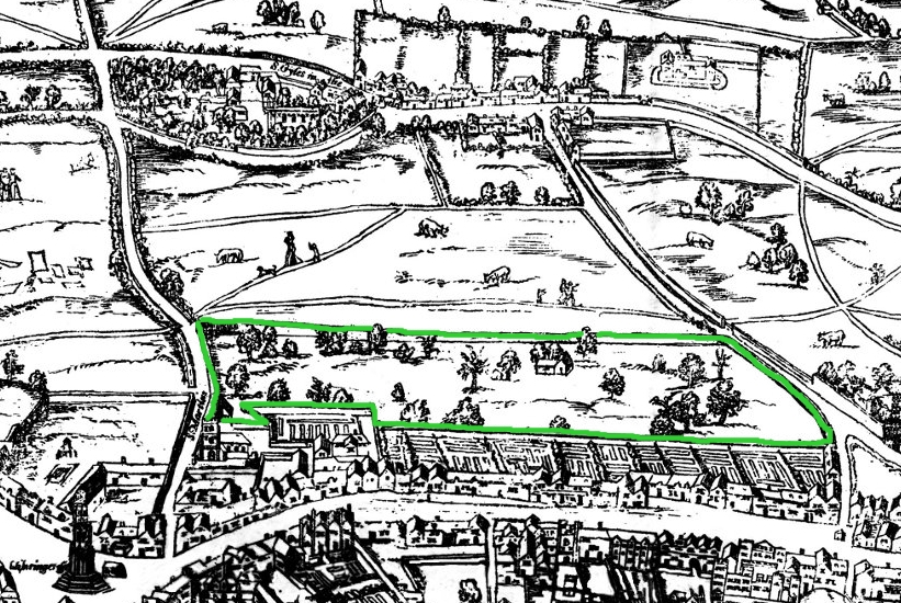
Covent Garden from the Ralph Agas 1572 map of London - marked
1572 · Wikimedia Commons

Maps Of Old London Hoefnagel
1572 · Wikimedia Commons