

Locations mined by the 20th Air Force up to 31 July 1945
A map showing locations in the Japanese home islands mined by the United States 20th Air Force up to 31 July 1945
- Date
- August 1, 1945
- Mapmaker / publisher
- United States Twentieth Air Force
- Archive
- Wikimedia Commons
- Type
- map
- Original size
- 825 × 769 pixels
Public domainsafest
Reason: a US government work.
Read from: Commons licence category: PD US Government; no CC BY, CC BY-SA, GFDL or deletion tag on the file page.
Credit line
"Locations mined by the 20th Air Force up to 31 July 1945" (August 1, 1945). United States Twentieth Air Force, via Wikimedia Commons. Public domain. https://commons.wikimedia.org/wiki/File:Locations_mined_by_the_20th_Air_Force_up_to_31_July_1945.jpgNeed maps for a whole project? Add Find Any Map to Claude and ask for this one by its id: 24282.
More like this

Allied naval operations off Japan during July and August 1945
1950 · Wikimedia Commons

B-29 target cities in Japan
1952 · Wikimedia Commons

20th AF bases Marianas
1951 · Wikimedia Commons

Areas of principal Japanese cities destoyed by US bombing
Wikimedia Commons

Map of Japanese Army Ground Forces in the home islands August 18 1945
1950 · Wikimedia Commons
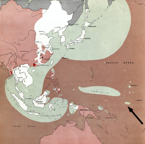
Map of the front against Japan as of 1 Aug 1945: This map is taken from the source "Atlas of the World Battle Fronts in Semimonthly Phases to August 15th 1945: Supplement to The Biennial report of The
1945 · 2 sheets

Map of the front against Japan as of 15 July 1945: This map is taken from the source "Atlas of the World Battle Fronts in Semimonthly Phases to August 15th 1945: Supplement to The Biennial report of T
1945 · Wikimedia Commons

Japan Bombing Operations Twentieth Air Force Overlay
1940–1947 · U.S. National Archives