

Leesburg's Old and Historic District
Includes text, 2 insets, vicinity map, and color illustrations.
- Date
- 2013
- Mapmaker / publisher
- Parry, Debi
- Place
- Virginia
- Archive
- Library of Congress (via Wikimedia Commons)
- Type
- map
- Original size
- 10,668 × 7,161 pixels
Public domain
Reason: a US government work.
This status rests on the map's publication history, as researched by Wikimedia Commons. Check it before commercial use.
Read from: Commons licence category: PD US Government; no CC BY, CC BY-SA, GFDL or deletion tag on the file page; Commons tags it as a US government work, but its record names no government maker.
Credit line
"Leesburg's Old and Historic District" (2013). Parry, Debi. Library of Congress, Geography and Map Division, via Wikimedia Commons. Public domain. https://commons.wikimedia.org/wiki/File:Leesburg%27s_Old_and_Historic_District_LOC_2014589393.jpgNeed maps for a whole project? Add Find Any Map to Claude and ask for this one by its id: 14817.
More like this
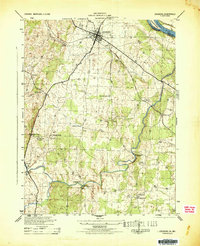
Leesburg, Virginia: USGS topographic map, 1:31,680 (1944)
1944 · USGS Historical Topographic Map Collection
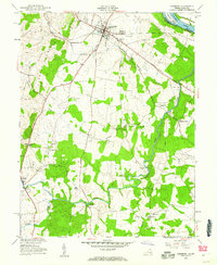
Leesburg, Virginia: USGS topographic map, 1:24,000 (1952–1994)
1952–1994 · 7 editions

Manassas National Battlefield Park, Virginia
2009 · Library of Congress

Delaware & Lehigh National & State Heritage Corridor - follow historic paths through valleys that fueled Americas's Industrial Revolution
2013 · Library of Congress

Arlington House - the Robert E. Lee Memorial, Virginia
2013 · Library of Congress

Manassas National Battlefield Park, Virginia
2010 · Library of Congress

Star-Spangled Banner National Historic Trail - O! say can you see by the dawn's early light - Chesapeake Bay region, Maryland, Virginia, and Washington DC
2012 · Library of Congress

Harpers Ferry, Harpers Ferry National Historical Park, West Virginia, Maryland, Virginia
2010 · Library of Congress