

Le Tour du monde-06-p147
Réunion, plate 147
Map of Reunion Island, drawn up by Mr L. Maillard
- Date
- July 1, 1862
- Mapmaker / publisher
- Louis Maillard
- Place
- Réunion
- Archive
- Wikimedia Commons
- Type
- map
- Original size
- 2,361 × 1,641 pixels
Public domainsafest
Reason: its maker died more than 70 years ago.
Read from: Commons licence category: PD-old-70-expired; no CC BY, CC BY-SA, GFDL or deletion tag on the file page.
Credit line
"Le Tour du monde-06-p147" (July 1, 1862). Louis Maillard, via Wikimedia Commons. Public domain. https://commons.wikimedia.org/wiki/File:Le_Tour_du_monde-06-p147.jpgNeed maps for a whole project? Add Find Any Map to Claude and ask for this one by its id: 239072.
More like this

Le Tour du monde-04-p307
July 1, 1861 · Mauritius, plate 307

Le Tour du monde-07-p131
1863 · Mauritius, plate 131
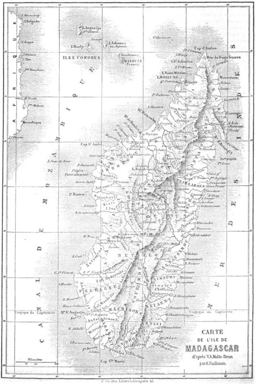
Le Tour du monde-04-p339
July 1, 1861 · Madagascar, plate 339

Ile de la Réunion
1884 · Wikimedia Commons

Le Tour du monde-10-p199
July 1, 1864 · Madagascar, plate 199

Nouvel atlas des colonies françaises
1891 · La Réunion

Ile de la Réunion - Colonie Française (Océan indien) (hémisphère austral)
1854 · Fonds Ancely - B315556101 A LEVASSEUR 091

Ile de la Réunion
A. Piat