

Le Tour du monde-05-p395
South Sudan, plate 395
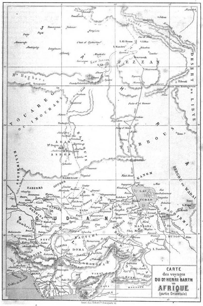
Sketch of the itinerary of Mr. A. Bolognesi's trip to the Gazelle River (Bahr El Gazal).
- Date
- 1862
- Place
- South Sudan
- Archive
- Wikimedia Commons
- Type
- map
- Original size
- 820 × 567 pixels
Public domainsafest
Reason: its maker died more than 70 years ago.
Read from: Commons licence category: PD-old-70-expired; no CC BY, CC BY-SA, GFDL or deletion tag on the file page.
Credit line
"Le Tour du monde-05-p395" (1862). Wikimedia Commons. Public domain. https://commons.wikimedia.org/wiki/File:Le_Tour_du_monde-05-p395.pngNeed maps for a whole project? Add Find Any Map to Claude and ask for this one by its id: 237221.
More like this

Le Tour du monde-05-p176
1862 · Africa, plate 176

Le Tour du monde-09-p324
1864 · South Sudan, plate 324

Le Tour du monde-07-p420
1863 · Africa, plate 420

Le Tour du monde-04-p404
July 1, 1861 · Africa, plate 404

Le Tour du monde-02-p235
July 1, 1860 · Nigeria, plate 235

Le Tour du monde-02-p307
July 1, 1860 · Tanzania, plate 307

Le Tour du monde-02-p338
July 1, 1860 · Tanzania, plate 338
Le Tour du monde-02-p195
July 1, 1860 · Niger, plate 195