

Le Rhin: Strasbourg et son arrière - pays / édité par la "Navigation du Rhin"; G. Knoerr, dessinateur
- Date
- 1815–1870
- Mapmaker / publisher
- Knoerr, G. Cartographe Commission centrale pour la navigation du Rhin. Cartographe
- Place
- Europe
- Archive
- Wikimedia Commons
- Type
- map
- Original size
- 5,088 × 7,273 pixels
Public domainsafest
Reason: its US copyright has expired (published before 1931).
Read from: Commons licence category: PD US expired; no CC BY, CC BY-SA, GFDL or deletion tag on the file page.
Credit line
"Le Rhin: Strasbourg et son arrière - pays / édité par la "Navigation du Rhin"; G. Knoerr, dessinateur" (1815–1870). Knoerr, G. Cartographe Commission centrale pour la navigation du Rhin. Cartographe, via Wikimedia Commons. Public domain. https://commons.wikimedia.org/wiki/File:Le_Rhin_-_Strasbourg_et_son_arri%C3%A8re_-_pays_-_%C3%A9dit%C3%A9_par_la_%22Navigation_du_Rhin%22_;_G._Knoerr,_dessinateur_-_btv1b102233989.jpgNeed maps for a whole project? Add Find Any Map to Claude and ask for this one by its id: 251545.
More like this

Plan de Strasbourg
1939 · France, plate 1 of 2

Das Rheinland von Basel bis Rotterdam - nebst denen zunächstliegenden Städten, Strassen und Eisenbahnen
1860 · Library of Congress

Carte topographique du cours du Rhin
1760 · 6 sheets

Frontières du Rhin: Prusse rhénane, Bavière, Wurtemberg, Gd. Duché de Bade, Belgique, Hollande, frontière Nord-Est de France
1870 · Wikimedia Commons

Le Cours du Rhin depuis Strasbourg jusqu'à worms et les Pays Adjacens / par Guillaume Del'Isle,.
1704 · Wikimedia Commons

Württemberg, Baden, Hessen und Elsass-Lothringen (9. Auflage) / entworfen von F. Handtke
Wikimedia Commons

Carte du théâtre de la guerre: estampe / non identifié
1870 · Wikimedia Commons
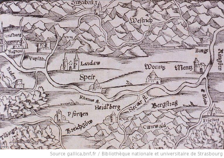
Carte représentant Strasbourg et l'Allemagne
1550 · Wikimedia Commons