
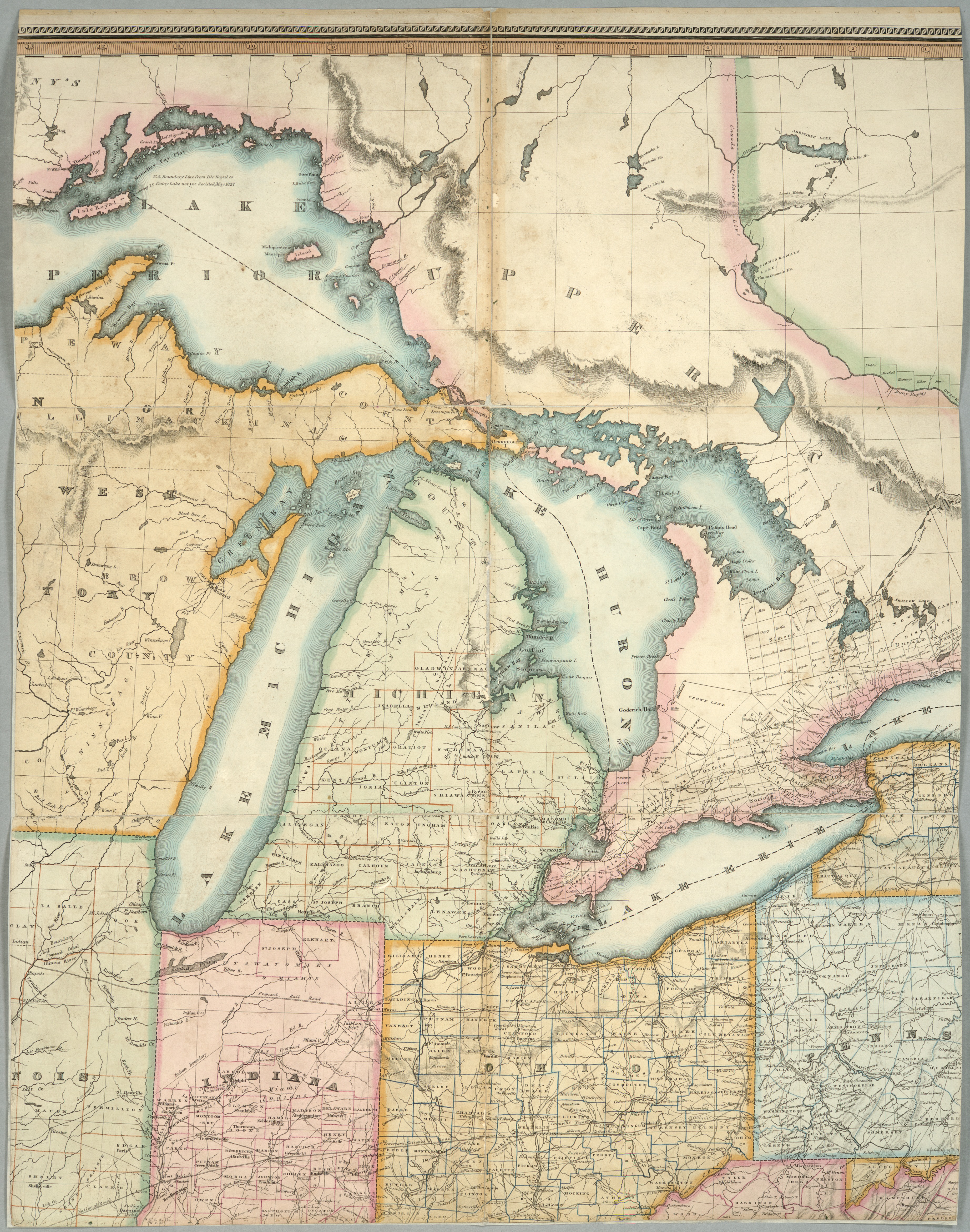
Lay's map of the United States
Relief shown by hachures.; Hand colored.; Shows county boundaries.; Shows part of southern Canada.; Includes "Statistical table of the United States" and table of "Population of Upper and Lower Canada."; Inset: Florida.; Prime meridians: Washington, Greenwich.; Originally dissected to fold, mounted on 4 sheets of linen, 67 x 77 cm., edged with cloth.
- Mapmaker / publisher
- Scan by NYPL
- Place
- the Great Lakes
- Archive
- New York Public Library (via Wikimedia Commons)
- Type
- chart
- Sheets
- 2
- Original size
- 3,688 × 4,681 pixels
Public domain
Reason: public domain: scan (PD-old-70).
This status rests on the map's publication history, as researched by Wikimedia Commons. Check it before commercial use.
Read from: Commons licence category: PD-scan (PD-old-70); no CC BY, CC BY-SA, GFDL or deletion tag on the file page.
Credit line
"Lay's map of the United States". Scan by NYPL. New York Public Library, via Wikimedia Commons. Public domain. https://commons.wikimedia.org/wiki/File:Lay%27s_map_of_the_United_States_(NYPL_b11070797-1949368).jpgNeed maps for a whole project? Add Find Any Map to Claude and ask for this one by its id: 19426.
All 2 sheets
Each sheet links to its file at the archive; the image link is the full-size scan.



More like this

Map of the United States compiled from the latest and most accurate surveys by Amos Lay, geographer & map publisher, New York.
1834 · Library of Congress

Map of the United States
1834 · 3 sheets

United States of America, 1834
1834 · New York Public Library

United States. NYPL434843
1831 · New York Public Library

Map of the Vermont Central Rail Road and its connections from Smith's map of the United States
1844 · New York Public Library

United States of America
1837 · New York Public Library

Map of the Lake Region, St. Lawrence Valley and surrounding country.
New York Public Library

Northern section of the United States, including Canada &c.
1824 · New York Public Library