

Lancashire c1590
manuscript map of Lancashire drawn ca. 1576-1590, annotated by William Cecil, 1st Baron Burghley
- Date
- 1567–1590
- Place
- Lancashire
- Archive
- Wikimedia Commons
- Type
- map
- Original size
- 635 × 1,035 pixels
Public domainsafest
Reason: its maker died more than 100 years ago.
Read from: Commons licence category: PD-old-100-expired; no CC BY, CC BY-SA, GFDL or deletion tag on the file page.
Credit line
"Lancashire c1590" (1567–1590). Wikimedia Commons. Public domain. https://commons.wikimedia.org/wiki/File:Map_of_Lancashire_c1590.jpgNeed maps for a whole project? Add Find Any Map to Claude and ask for this one by its id: 243721.
More like this

William Smith Lancashire 1598
1598 · Wikimedia Commons

Coloured manuscript map of Lancashire with names of gentry and their houses
Wikimedia Commons

Lancastria Atlas
1577 · Wikimedia Commons

William Smith map of Lancashire 1598 Harley 6159 ff 3v-4
1598 · Wikimedia Commons

William Borough map of the coasts of Norway, Lapland and North West Russia
1557 · Wikimedia Commons
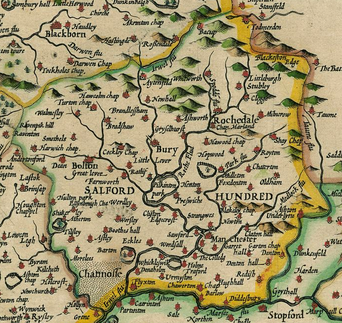
Hundred of Salford
1610 · Wikimedia Commons

Lancashire 1610 Speed Hondius
1610 · Wikimedia Commons

LANCASTRIA PALATINATUS Anglis LANCASTER et Lancas shire
1645 · Wikimedia Commons