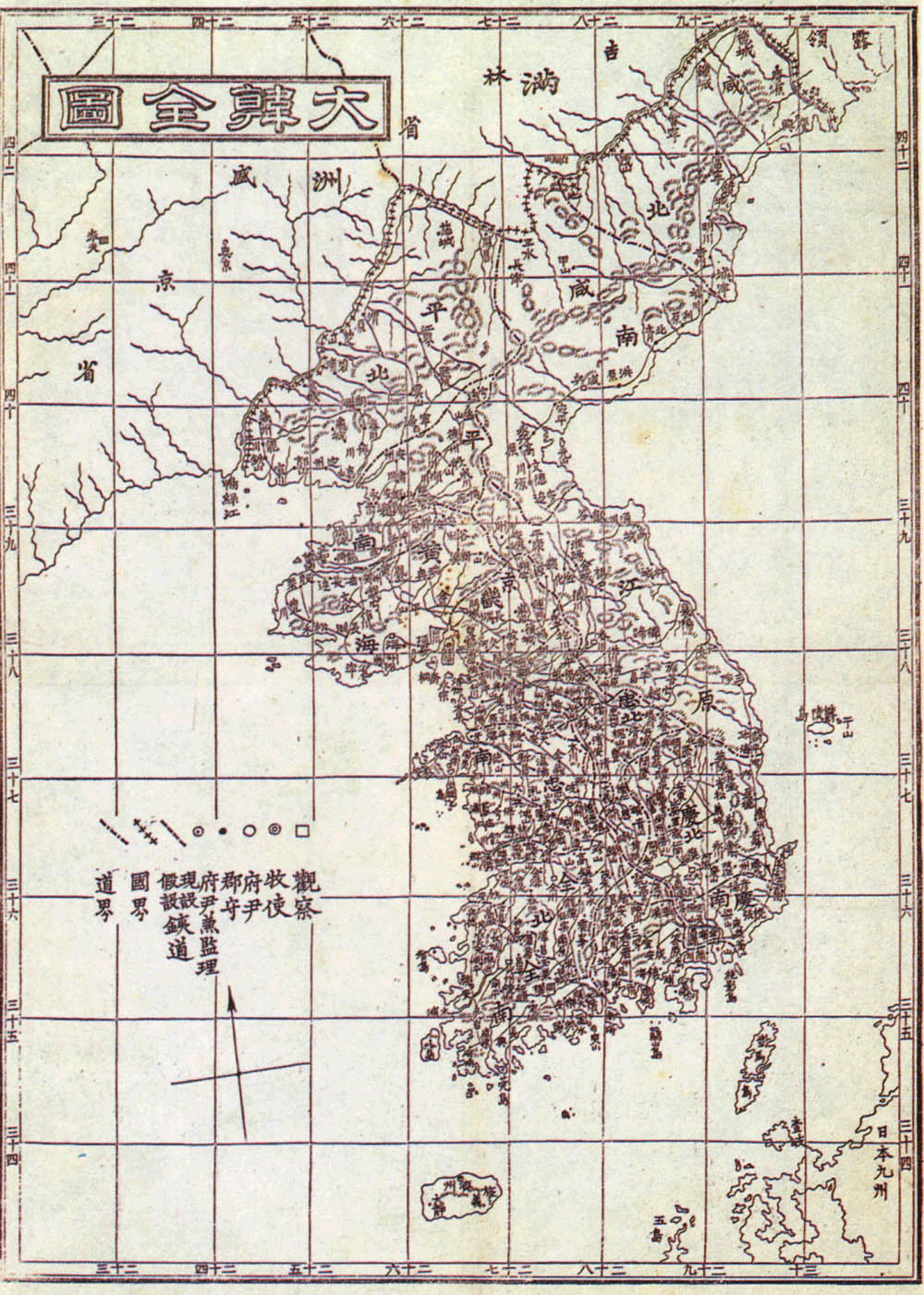

Korean map in 1899
"The Complete Map of Great Han" (Daehan Jeondo), a Korean map from 1899 (Hyeun Chae, Seoul) in the book of "Daehan Jiji"
- Date
- 1899
- Mapmaker / publisher
- Hyeun Chae (현채, 玄采, 1856-1925)
- Place
- Korea
- Archive
- Wikimedia Commons
- Type
- map
- Original size
- 1,000 × 1,402 pixels
Public domain
Reason: its maker died long enough ago that the copyright has expired.
This status rests on the map's publication history, as researched by Wikimedia Commons. Check it before commercial use.
Read from: Commons licence category: PD Old; no CC BY, CC BY-SA, GFDL or deletion tag on the file page.
Credit line
"Korean map in 1899" (1899). Hyeun Chae (현채, 玄采, 1856-1925), via Wikimedia Commons. Public domain. https://commons.wikimedia.org/wiki/File:Korean_map_in_1899.jpgNeed maps for a whole project? Add Find Any Map to Claude and ask for this one by its id: 241804.
More like this

Korea 1890
1890 · Wikimedia Commons

Map of Chosen
1929 · Wikimedia Commons

General map of the distances and the historic capitals (chinese: Hunyi jiangli lidai guodu zhi tu; japanese: Kon'itsu kyoori rekidai kokuto no zu), Korea, roughly 1402. Ink and paint on paper. Height
1402 · Wikimedia Commons

Dongyeodo
1861 · Wikimedia Commons

Tongguk p'alto chido.
1896 · 9 sheets

Romanized. Purchased from Shannon McCune in 1982. Annotated catalogue of old Korean atlases and maps in the, p.10, McCune #5 天下圖 -- 中國圖 -- 日本國 -- 琉球國 -- 東國八道大總圖 -- 京畿道 -- 忠清道 -- 全羅道 -- 慶尚道 -- 黄海道 -- 平
1800 · Library of Congress

Da qing guo shi ba sheng (quan tu).
1900 · Library of Congress

Hokusei yori Kōzan, Sansui, Kōshō, Chōshin o hete Chūreichin ni itaru
1885 · Library of Congress