

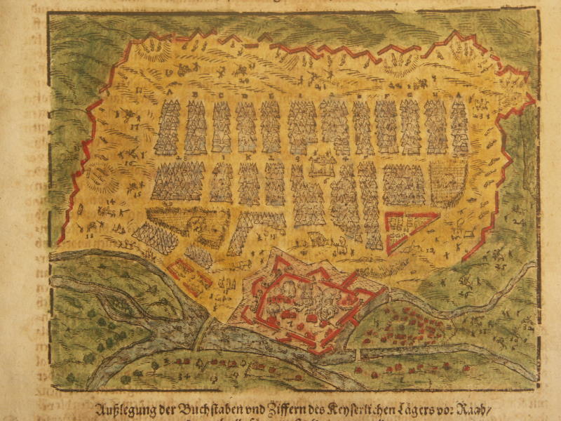
Komárom 16th Century
- Date
- 16th century
- Mapmaker / publisher
- Dr. Kretschmayr Henrik: Gritti Lajos 1480-1534. Budapest 1901
- Place
- Hungary
- Archive
- Wikimedia Commons
- Type
- map
- Original size
- 1,000 × 706 pixels
Public domain
Reason: its maker died long enough ago that the copyright has expired.
This status rests on the map's publication history, as researched by Wikimedia Commons. Check it before commercial use.
Read from: Commons licence category: PD Old; no CC BY, CC BY-SA, GFDL or deletion tag on the file page.
Credit line
"Komárom 16th Century" (16th century). Dr. Kretschmayr Henrik: Gritti Lajos 1480-1534. Budapest 1901, via Wikimedia Commons. Public domain. https://commons.wikimedia.org/wiki/File:Kom%C3%A1rom16thCentury.jpgNeed maps for a whole project? Add Find Any Map to Claude and ask for this one by its id: 249936.
More like this

Komárom, XVI century
Wikimedia Commons

Vrbivm praecipvarvm Mvndi theatrvm qvintvm
Wikimedia Commons

Komárom - 36-48
c. 1910 · Wikimedia Commons

Comorra / Communicavit G. Houf. A nn o 1595 depict. a filio
1595–1640 · Komárom, plate 2 of 3

Map of vicinity Sziget 1566
1552 · Wikimedia Commons
Map of Groy, Hungary
1600 · Wikimedia Commons

Theatri praecipvarvm totivs mvndi vrbivm: liber sextvs
Wikimedia Commons

La famosissima Piazza di Neuhausel nelli Confini di Ungaria assediata da Turchi li 13 Agosto 1663
c. 1663 · Wikimedia Commons