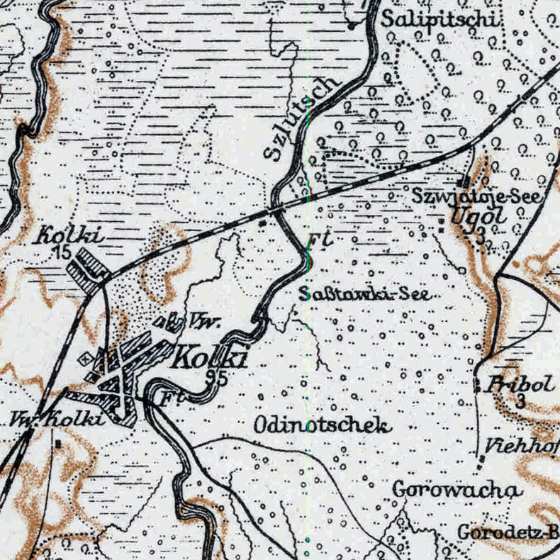

Kolky, 1917, map
Kolky on the map "Karte des Westlichen Russlands", T 35, 1917. According to Digital Repository of Scientific Institutes and Kujawsko-Pomorska Digital Library the map is in the public domain.
- Date
- 1917
- Mapmaker / publisher
- Prusy. Königliche Preussische Landesaufnahme Kartographische Abteilung
- Place
- the Russian Empire
- Archive
- Wikimedia Commons
- Type
- map
- Original size
- 790 × 790 pixels
Public domainsafest
Reason: its maker died more than 70 years ago.
Read from: Commons licence category: PD-old-70-expired; no CC BY, CC BY-SA, GFDL or deletion tag on the file page.
Credit line
"Kolky, 1917, map" (1917). Prusy. Königliche Preussische Landesaufnahme Kartographische Abteilung, via Wikimedia Commons. Public domain. https://commons.wikimedia.org/wiki/File:Kolky,_1917,_map.jpgNeed maps for a whole project? Add Find Any Map to Claude and ask for this one by its id: 242884.
More like this

Khylin, 1917, map
1917 · Wikimedia Commons

Kurash, 1917, map
1917 · Wikimedia Commons

Sokhy, 1917, map
1917 · Wikimedia Commons

Berezhky, 1917, map
1917 · Wikimedia Commons

Zolote, 1917, map
1917 · Wikimedia Commons

Selets, 1917, map
1917 · Wikimedia Commons

Khochyn, 1917, map
1917 · Wikimedia Commons

Berestia, 1917, map
1917 · Wikimedia Commons