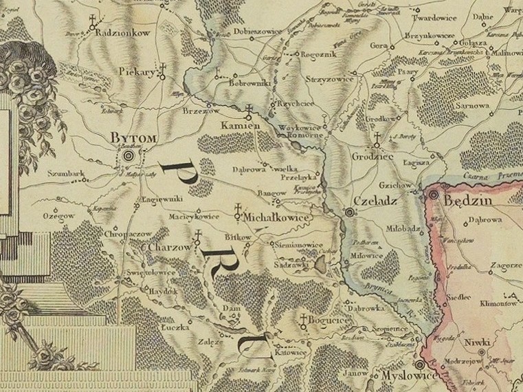

Katowice 1792
- Date
- July 11, 2012
- Mapmaker / publisher
- Herman Karol de Perthees, Pierre Francois Tardieu
- Place
- Silesia
- Archive
- Wikimedia Commons
- Type
- map
- Original size
- 761 × 570 pixels
Public domain
Reason: a US government work.
This status rests on the map's publication history, as researched by Wikimedia Commons. Check it before commercial use.
Read from: Commons licence category: PD US; no CC BY, CC BY-SA, GFDL or deletion tag on the file page; Commons tags it as a US government work, but its record names no government maker.
Credit line
"Katowice 1792" (July 11, 2012). Herman Karol de Perthees, Pierre Francois Tardieu, via Wikimedia Commons. Public domain. https://commons.wikimedia.org/wiki/File:Katowice_1792.jpgNeed maps for a whole project? Add Find Any Map to Claude and ask for this one by its id: 253302.
More like this

Mappa szczegulna woiewodztwa krakowskiego
July 11, 2012 · Wikimedia Commons

Powiat głubczycki 1790
July 16, 2011 · Wikimedia Commons

"Des Herzugthums Schlesien Fürstenthum Ratibor und die preussischen Theile der Fürstenthümer Troppau und Jägerndorf oder die zur Breslauischen Kammer gehörigen Kreise Ratibor und Leobschütz mit der fr
1791–2006 · Wikimedia Commons
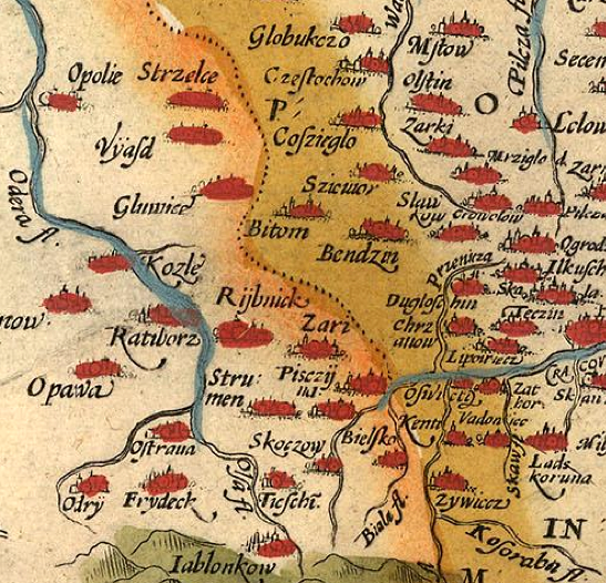
1592 Polonia Silesia Wenceslao Godreccio
1578–1592 · Wikimedia Commons

Wernher Standesherrschaft Beuthen map
1777 · Wikimedia Commons

Andrees Handatlas 1912 - Oberschlesisches Berg- und Hütten-Revier
1912 · Wikimedia Commons

Powiat raciborski 1790
May 25, 2011 · Wikimedia Commons

Franz Ludwig Güssefeld-Charte von Neuschlesien1799
1799 · Wikimedia Commons