

Karte des betraechtlichsten Theils von Mittel-America oder Westindien
- Date
- 1798
- Mapmaker / publisher
- Edwards, Bryan; Walch, Johannes (Herausgeber/-in)
- Place
- the Caribbean
- Archive
- Wikimedia Commons
- Type
- map
- Original size
- 7,639 × 6,621 pixels
CC0safest
Reason: CC0: dedicated to the public domain.
Read from: Commons licence category: CC-Zero; no CC BY, CC BY-SA, GFDL or deletion tag on the file page.
Credit line
"Karte des betraechtlichsten Theils von Mittel-America oder Westindien" (1798). Edwards, Bryan; Walch, Johannes (Herausgeber/-in), via Wikimedia Commons. CC0. https://commons.wikimedia.org/wiki/File:Karte_des_betraechtlichsten_Theils_von_Mittel-America_oder_Westindien.jpgNeed maps for a whole project? Add Find Any Map to Claude and ask for this one by its id: 295171.
More like this
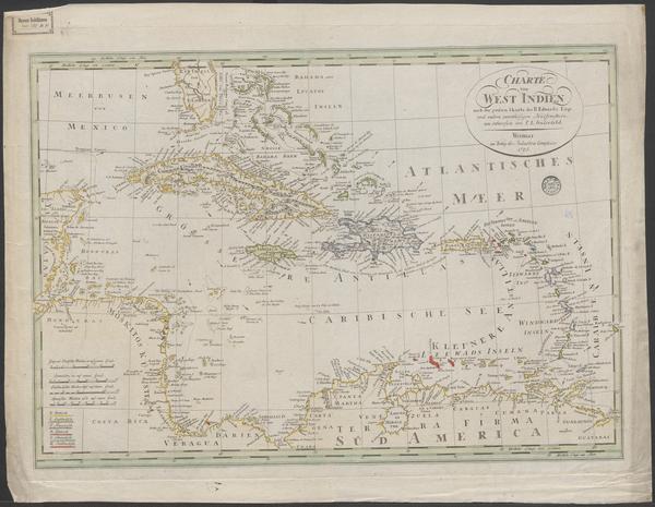
Charte von West Indien nach der grossen Charte des B. Edwards, Esqr. und andern zuverlassigne Hulfsmitteln neu entworfen von F.L. Gussefeld
Wikimedia Commons

West Indies
1785 · Library of Congress

Meyer‘s Zeitungsatlas 057 – Westindien und Mittelamerica
1849 · Wikimedia Commons

Charte von West Indien
Wikimedia Commons

Karte von Grossbritannien und Ireland, nach Kitchin, Dorret und Jefferys
1795 · Wikimedia Commons

Karte von Suriname
1784 · Wikimedia Commons

Charte das Deutsche Reich nach seinen Kreisen und deren Unter-abtheilungen vorstellend
1789 · Wikimedia Commons

Geographisch-statistische und historische Charte von den Westindischen Inseln über dem Winde oder die Zuckerinseln
Wikimedia Commons