

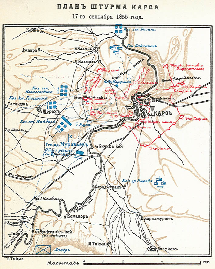
Kars1828
- Date
- 1913
- Place
- the Ottoman Empire
- Archive
- Wikimedia Commons
- Type
- map
- Original size
- 709 × 614 pixels
Public domain
Reason: public domain: RusEmpire.
This status rests on the map's publication history, as researched by Wikimedia Commons. Check it before commercial use.
Read from: Commons licence category: PD-RusEmpire; no CC BY, CC BY-SA, GFDL or deletion tag on the file page.
Credit line
"Kars1828" (1913). Wikimedia Commons. Public domain. https://commons.wikimedia.org/wiki/File:Kars1828.jpgNeed maps for a whole project? Add Find Any Map to Claude and ask for this one by its id: 296647.
More like this
Siege of Kars 1855
1913 · Wikimedia Commons

Карта войны с Турцией (1828―1829)
1908 · Wikimedia Commons

Carte du Caucase en turc (19th century)
Wikimedia Commons

Kaart van de Russisch-Turkse Oorlog, 1828 Russisch-Turksche Oorlogskaart Kaart van Europeesch en Aziatsch Turkye het Koningrijk Griekenland de Russische Provincien aan de Zwarte Zee en de Aangrenzend, RP-P-2017-9917
1828–1829 · Wikimedia Commons

Territorial changes of the Ottoman Empire 1913b
2009 · Wikimedia Commons

Carte de la Russie d'Europe et des frontières du Caucase / par ordre du département géographique impérial
1862 · Plate 11 of 13

Das Osmanische Reich in Asien 1829
1829 · Wikimedia Commons

Russia-Ottoman wars map
Wikimedia Commons