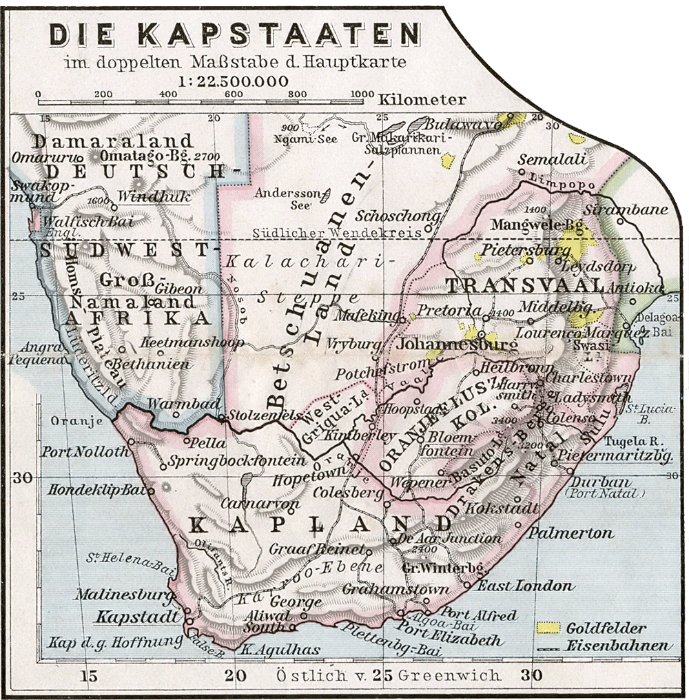

Kapstaaten 1905
Historical map of the Cape States 1905
- Date
- 1905
- Mapmaker / publisher
- Scan made by Kogo
- Place
- South Africa
- Archive
- Wikimedia Commons
- Type
- map
- Original size
- 1,000 × 1,016 pixels
Public domain
Reason: its maker died long enough ago that the copyright has expired.
This status rests on the map's publication history, as researched by Wikimedia Commons. Check it before commercial use.
Read from: Commons licence category: PD Old; no CC BY, CC BY-SA, GFDL or deletion tag on the file page.
Credit line
"Kapstaaten 1905" (1905). Scan made by Kogo, via Wikimedia Commons. Public domain. https://commons.wikimedia.org/wiki/File:Kapstaaten_1905.pngNeed maps for a whole project? Add Find Any Map to Claude and ask for this one by its id: 237864.
More like this

Südafrika. Capland und Angrenzende Gebiete…
1890 · Wikimedia Commons

Southern Africa 1890s Political
1897 · Wikimedia Commons

Suedafrika 1885
1885 · Wikimedia Commons

Politisch-militaerische Karte von Süd-Afrika
1899 · Wikimedia Commons

South Africa
1895 · Wikimedia Commons

South Africa
1896 · Wikimedia Commons

AFR V4 D158-159 Map of the Cape - South Africa
June 12, 1893 · Wikimedia Commons

Karte von Süd-Afrika mit besonderer Berücksichtigung der deutschen Kolonien
1900 · Wikimedia Commons