

Justinian Byzantiumv2
A partial map of Justinian Byzantium meant as a teaching resource
- Date
- May 27, 2008
- Mapmaker / publisher
- Doug Hatfield
- Place
- the Byzantine Empire in the 6th century
- Archive
- Wikimedia Commons
- Type
- map
- Original size
- 2,267 × 1,158 pixels
Public domain
Reason: public domain: self.
This status rests on the map's publication history, as researched by Wikimedia Commons. Check it before commercial use.
Read from: Commons licence category: PD-self; no CC BY, CC BY-SA, GFDL or deletion tag on the file page; permission field: Public domain.
Credit line
"Justinian Byzantiumv2" (May 27, 2008). Doug Hatfield, via Wikimedia Commons. Public domain. https://commons.wikimedia.org/wiki/File:Justinian_Byzantiumv2.pngNeed maps for a whole project? Add Find Any Map to Claude and ask for this one by its id: 246152.
More like this

The Roman Empire in 500 AD.
October 17, 2011 · Wikimedia Commons

ByzantEmpLang VI s
October 26, 2008 · Wikimedia Commons

LocationByzantineEmpire 550
June 14, 2008 · Wikimedia Commons

Made from BigDaddy1204's maps, using John Haldon info. The only notable changes are a strip of land between Rome and Ravenna and less land in Asia Minor, but only in the modern day provinces of:w:Mers
August 1, 2007 · Wikimedia Commons

LocationByzantineEmpire 1025
March 11, 2008 · Wikimedia Commons

ByzantineEmpire1045AD2lightpurple
Wikimedia Commons
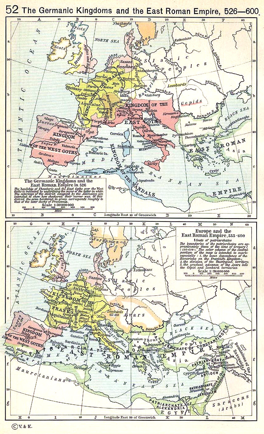
Shepherd 526-600
Wikimedia Commons

The Byzantine Empire, c.1180
April 7, 2008 · Wikimedia Commons