

Japanese pre-war colonization.
Plate 10
Cover title. English and Japanese, with ms. Spanish translations of Japanese captions. 南洋二於ケル邦人拓殖事業状況圖 --Japanese Enterprises in the South Seas and the Distribution of Japanese Nationals -- Distribution of Products in the South Seas Area -- 邦人世界分布圖 -- Japanese Nationals Living Abroad -- Distribution of Japanese Nationals Asia, Oceania -- Distribution of Japanese Nationals Europe, Africa -- Distribution of Japanese Nationals North, South America -- 南米二於ケル邦人拓殖事業状況南米土地取得圖, サンパウロ州法人事業圖 -- Japanese residents and land they have acquired in South America -- Agricultural production -- Mineral production -- 満州農業移民入植圖 -- Provinces of Manchuria and their capitals-- Location of railroads and Japanese immigrant colonies.
- Date
- 1935
- Mapmaker / publisher
- United States. Federal Bureau Of Investigation
- Archive
- Library of Congress (via Wikimedia Commons)
- Type
- map
- Original size
- 3,268 × 3,918 pixels
Public domainsafest
Reason: a US government work.
Read from: Commons licence category: PD US Government; no CC BY, CC BY-SA, GFDL or deletion tag on the file page.
Credit line
"Japanese pre-war colonization." (1935). United States. Federal Bureau Of Investigation. Library of Congress, Geography and Map Division, via Wikimedia Commons. Public domain. https://commons.wikimedia.org/wiki/File:Japanese_pre-war_colonization._LOC_80675188-10.jpgNeed maps for a whole project? Add Find Any Map to Claude and ask for this one by its id: 14275.
More like this
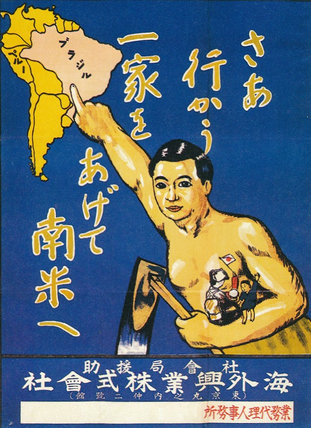
Affiche émigration JP au BR-déb. XXe s.
Wikimedia Commons

1942 Japanese map of the world during World War II verso
1942 · Wikimedia Commons

Japanese Plan November 1941
1953 · Wikimedia Commons

1932 Japanese pictorial map of the world - verso
1932 · Wikimedia Commons

1938 Japanese pictorial map of the world
1938 · Wikimedia Commons

The Japanese Shipping Position for 1942
May 16, 1942 · U.S. National Archives

Nanyang Qundao xian shi tu
1936 · Library of Congress

1945 Pacific Japanese Control
1945 · Wikimedia Commons