

ItalienFront-Sommer44 XXthCent
Map of the Italian front in summer 1944, showing German retreat.
- Date
- 1944
- Mapmaker / publisher
- XXth Century
- Archive
- Wikimedia Commons
- Type
- map
- Original size
- 541 × 541 pixels
Public domain
Reason: public domain: Japan.
This status rests on the map's publication history, as researched by Wikimedia Commons. Check it before commercial use.
Read from: Commons licence category: PD-Japan; no CC BY, CC BY-SA, GFDL or deletion tag on the file page.
Credit line
"ItalienFront-Sommer44 XXthCent" (1944). XXth Century, via Wikimedia Commons. Public domain. https://commons.wikimedia.org/wiki/File:ItalienFront-Sommer44_XXthCent.jpegNeed maps for a whole project? Add Find Any Map to Claude and ask for this one by its id: 24004.
More like this
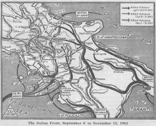
ItalienFront-Sep-Nov43 XXthCent
1944 · Wikimedia Commons

Alled advance from Rome to the Arno, 1944.
June 21, 2007 · Wikimedia Commons

Ww2 europe map italy june until december 1944
1985 · Wikimedia Commons

Italian Campaign, course taken by 10th Mountain Division - DPLA - 2effa50e3967a3fc6eee120de5ced53f
Wikimedia Commons

The Allied breakout from Anzio and advance from the Gustav Line May 1944. Area of operations, late May 1944.
1944 · Wikimedia Commons

The breakout at Anzio. May/June 1944 — Allies Operation Shingle.
1944 · Wikimedia Commons

Italian Campaign, course taken by 10th Mountain Division - DPLA - 1e7a1a7652d29fa652ba25837e461da9
Wikimedia Commons

Map of US IV and II Corps breakthrough into the Po valley, April 1945
1945 · Wikimedia Commons