

Italia Annonaria ca 400 AD
Map of the Roman Empire ca. 400 AD, showing the administrative division into dioceses and provinces, as well as the major cities. The demarcation between Eastern and Western Empires is noted in red.
- Mapmaker / publisher
- The_Roman_Empire_ca_400_AD.png: Cplakidas *derivative work: Jbribeiro1
- Place
- Europe in the 4th century
- Archive
- Wikimedia Commons
- Type
- map
- Original size
- 690 × 518 pixels
Public domain
Reason: public domain: self.
This status rests on the map's publication history, as researched by Wikimedia Commons. Check it before commercial use.
Read from: Commons licence category: PD-self; no CC BY, CC BY-SA, GFDL or deletion tag on the file page.
Credit line
"Italia Annonaria ca 400 AD". The_Roman_Empire_ca_400_AD.png: Cplakidas *derivative work: Jbribeiro1, via Wikimedia Commons. Public domain. https://commons.wikimedia.org/wiki/File:Italia_Annonaria_ca_400_AD.pngNeed maps for a whole project? Add Find Any Map to Claude and ask for this one by its id: 20556.
More like this

Illyricum & Dacia - AD 400
Wikimedia Commons

Emona in the Roman Province of Italy
Wikimedia Commons

Diocese of Macedonia - AD 400
Wikimedia Commons
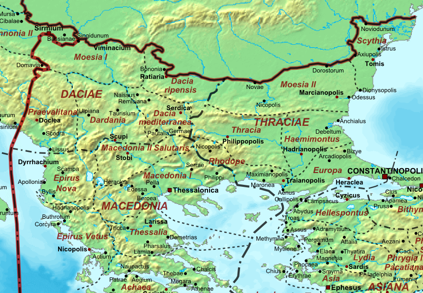
Moesia - AD 400
Wikimedia Commons

The Roman Empire ca 400 AD (Danube provinces)
October 31, 2007 · Wikimedia Commons

The Roman Empire ca 400 AD
October 31, 2007 · Wikimedia Commons
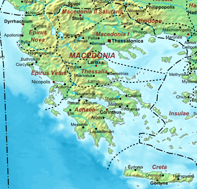
Macedonia ad400
Wikimedia Commons

C. 395 Roman Provinces
c. 1911 · Wikimedia Commons