

Irish Peace Park, Messines 1917 Battle plaque
An elevated bronze plaque showing the direction of assault at the outset of the in June 1917 in which the two voluntary Irish divisions, the and the, played a decisive role. The plaque stands in the grounds of the, Belgium.
- Date
- 2009
- Mapmaker / publisher
- Osioni
- Archive
- Wikimedia Commons
- Type
- map
- Original size
- 1,195 × 1,256 pixels
Public domain
Reason: public domain: self.
This status rests on the map's publication history, as researched by Wikimedia Commons. Check it before commercial use.
Read from: Commons licence category: PD-self; no CC BY, CC BY-SA, GFDL or deletion tag on the file page.
Credit line
"Irish Peace Park, Messines 1917 Battle plaque" (2009). Osioni, via Wikimedia Commons. Public domain. https://commons.wikimedia.org/wiki/File:Irish_Peace_Park,_Messines_1917_Battle_plaque.jpgNeed maps for a whole project? Add Find Any Map to Claude and ask for this one by its id: 22656.
More like this

Battle of Messines - planning map
1917 · Wikimedia Commons

II ANZAC
1917 · Battle of Messines
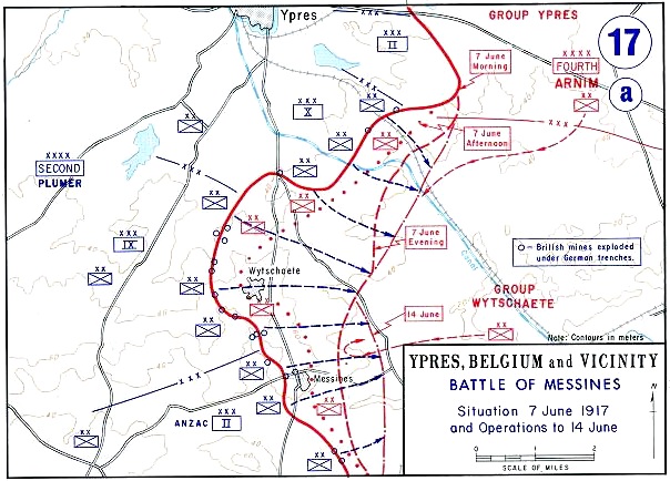
Battle of Messines - Map
Wikimedia Commons

Mining 1
1922 · Wikimedia Commons

Messines, 1917
1917 · Wikimedia Commons

Battle of Menin Road- Australian situation map
1917 · Wikimedia Commons

U.S. II Corps in the Battle of St Quentin Canal 29 September 1918
1938 · Wikimedia Commons

French counter-attack at Messines, 2 November 1914
1914 · Wikimedia Commons