

Indo Malay border2
Indo-Malay border
- Date
- March 15, 1965
- Mapmaker / publisher
- US Dept.of State
- Place
- Indonesia
- Archive
- Library of Congress (via Wikimedia Commons)
- Type
- map
- Original size
- 994 × 750 pixels
Public domainsafest
Reason: a US government work.
Read from: Commons licence category: PD US Government; no CC BY, CC BY-SA, GFDL or deletion tag on the file page.
Credit line
"Indo Malay border2" (March 15, 1965). US Dept.of State. Library of Congress, Geography and Map Division, via Wikimedia Commons. Public domain. https://commons.wikimedia.org/wiki/File:Indo_Malay_border2.jpgNeed maps for a whole project? Add Find Any Map to Claude and ask for this one by its id: 242507.
More like this

Israel Egypt border
April 1, 1965 · Library of Congress
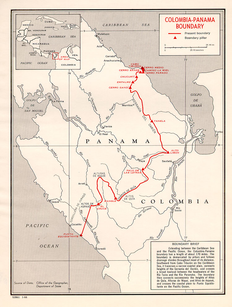
Colombia-Panama border map
January 30, 1960 · Wikimedia Commons

Guyana-Venezuela border
March 14, 1963 · Wikimedia Commons

Jordan-Saudi Arabia border
December 30, 1965 · Wikimedia Commons

Finland-Russia border
February 1, 1967 · Wikimedia Commons

Iraq-Jordan border
April 15, 1970 · Wikimedia Commons

Burma Indian map
May 15, 1968 · Wikimedia Commons

Brazil-Colombia border 1
April 15, 1985 · Wikimedia Commons