

Ilha da Trindade 1783
map of Trindade Island, Brazil, out in the Atlantic Ocean
- Date
- 1783
- Mapmaker / publisher
- Antonio Rodriguez Montezinho, Pedro Torquato Xavier de Brito
- Place
- Brazil
- Archive
- Wikimedia Commons
- Type
- map
- Original size
- 3,656 × 2,728 pixels
Public domainsafest
Reason: its maker died more than 70 years ago.
Read from: Commons licence category: PD-old-70-expired; no CC BY, CC BY-SA, GFDL or deletion tag on the file page.
Credit line
"Ilha da Trindade 1783" (1783). Antonio Rodriguez Montezinho, Pedro Torquato Xavier de Brito, via Wikimedia Commons. Public domain. https://commons.wikimedia.org/wiki/File:Ilha_da_Trindade_1783.jpgNeed maps for a whole project? Add Find Any Map to Claude and ask for this one by its id: 306038.
More like this

Map of the Brazilian Coast, Which Goes from Santa Ana Island to the Joatinga, Copied from a Portuguese Map and Printed on January, 1785
1800–1899 · Wikimedia Commons
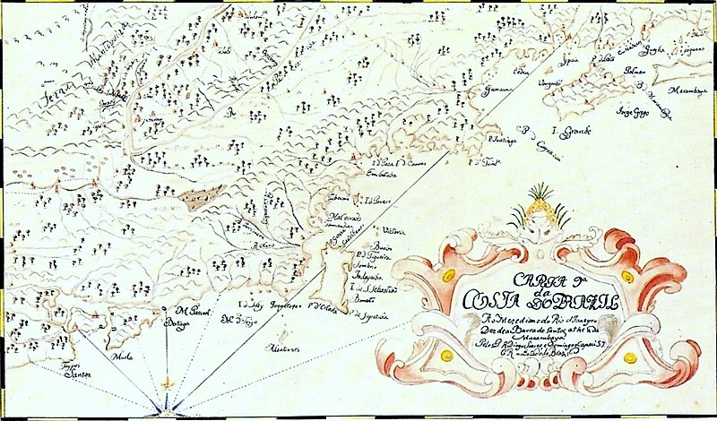
Map of the Brazilian coast from Santos to Marambaia
1729 · Wikimedia Commons

Carte de l'île de la Trinité et des environs
1700–1799 · Wikimedia Commons

Plano de la Isla Grande en la costa del Brasil situada su mediania en la latitud de 23 gs. 11 ms. y en la longitud de 332 gs. y 57 ms., meridiano de Tenerife.
1700 · Library of Congress

A Chart of the Isle of Trinidad.
1798 · Wikimedia Commons

Plano de la Ysla Trinidad de Barlovento situado entre las latitudes septentrionales de 10⁰51ʹ y la de 9⁰44ʹ y entre las longitudes de 314⁰43ʹ y las de 316⁰13ʹ segun el meridiano de Tenerife con sus
1780 · Library of Congress

Map of the Brazilian coast from the meridian of Rio de Janeiro, from Araçatuba to Guaratuba
1729 · Wikimedia Commons

Map of the Fortress of Cobras Island Built to Harass Ships that Anchor in the Harbor
1789 · Wikimedia Commons