

Ile Ste-Hélene
French Map of St. Helena, 1911
- Date
- 1911
- Mapmaker / publisher
- engraver
- Place
- Africa
- Archive
- Wikimedia Commons
- Type
- map
- Original size
- 988 × 812 pixels
Public domain
Reason: public domain: anon-expired.
This status rests on the map's publication history, as researched by Wikimedia Commons. Check it before commercial use.
Read from: Commons licence category: PD-anon-expired; no CC BY, CC BY-SA, GFDL or deletion tag on the file page.
Credit line
"Ile Ste-Hélene" (1911). engraver, via Wikimedia Commons. Public domain. https://commons.wikimedia.org/wiki/File:Ile_Ste-H%C3%A9lene.pngNeed maps for a whole project? Add Find Any Map to Claude and ask for this one by its id: 236327.
More like this

Map of St. Helena, 1719
1683–1719 · Wikimedia Commons

Map of St. Helena, 1685
1683–1719 · Wikimedia Commons

Carte Topographique de l'Ile Saint Eustache Samuel Fahlberg 1830
1830 · Wikimedia Commons

Ile Bourbon. Colonie Francaise (Ocean Indien.)
1852 · Wikimedia Commons

Ile de La Reunion Colonie Francaise (ocean indien)
1850 · 1850 Levasseur Map of Ile de La Reunion

Nouvel atlas des colonies françaises
1891 · Saint-Pierre and Miquelon

Insula D. Helenae sacra coeli clementia et aequabilitate soli ubertate et aquarum salubritate nulli secunda, sed inhabitata; hic receptus navium ex Or. India rede n tium sita in altitudine 16. graduum, ad austrum lineae aequinoctialis / Ioannes Hugonis a Linschoten auct.; Baptista a Doetechum scul
1589–1596 · Plate 2 of 3
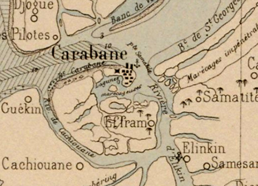
Carte ancienne de l'île de Carabane sur le fleuve Casamance (Sénégal)
1890 · Wikimedia Commons