

Ie defence positions
This diagram of a typical defense system on the face of Iegusugu Pinnacle was adapted from a sketch appearing in CINCPAC-CINCPOA Weekly Intelligence, Volume 2, Number 5, 13 August 1945. The diagram does not show all the defensive positions in the area depicted and is designed only to indicate the method by which the enemy attained mobility even in fighting from positions underground. In describing this position the bulletin states: About 50 yards south of the approach road was the camouflaged entrance to a typical tunnel system within the hill. The entrance was a square log-shored shaft 30 feet deep. A smaller curved shaft which came to the surface about 15 feet away was probably designed for ventilation purposes. The main tunnel to the hill installations ran from this shaft, under the road to the first of a series of caves approximately 100 feet from the shaft entrance. This tunnel was from four to five feet high and three feet wide. Walls were reinforced with logs six to eight inches in diameter, loose coral rock on the ceilings was held in place by logs. The tunnel apparently was used for ammunition storage as well as communication.
- Date
- August 13, 1945
- Mapmaker / publisher
- United States Army (Post-Work: User:W.wolny)
- Place
- Okinawa Islands
- Archive
- Wikimedia Commons
- Type
- map
- Original size
- 1,217 × 724 pixels
Public domainsafest
Reason: a US government work (US Army).
Read from: Commons licence category: PD US Army; no CC BY, CC BY-SA, GFDL or deletion tag on the file page; permission field: Public Domain.
Credit line
"Ie defence positions" (August 13, 1945). United States Army (Post-Work: User:W.wolny), via Wikimedia Commons. Public domain. https://commons.wikimedia.org/wiki/File:Ie_defence_positions.pngNeed maps for a whole project? Add Find Any Map to Claude and ask for this one by its id: 24350.
More like this

Iwo Jima Tunnels
1945 · Wikimedia Commons

DEFENSE SYMBOL KEY" "SPECIAL AIR AND GUNNERY TARGET MAP" in October 1944, FROM- Iwo Jima Historical Map (Poster)
1944–2004 · Wikimedia Commons

Map of the Battle of Okinawa as of 15 June 1945: This map is taken from the source "Atlas of the World Battle Fronts in Semimonthly Phases to August 15th 1945: Supplement to The Biennial report of The
1945 · Wikimedia Commons

Operations Chart - Action Report Iheya-Aguni Operation
August 3, 1945 · Wikimedia Commons

Map of the Battle of Okinawa as of 1 May 1945: This map is taken from the source "Atlas of the World Battle Fronts in Semimonthly Phases to August 15th 1945: Supplement to The Biennial report of The C
1945 · Wikimedia Commons

Japanese defense sectors and dispositions on Tinian
1951 · Wikimedia Commons

Map of Battle for Sugar Loaf Hill
1945 · Wikimedia Commons
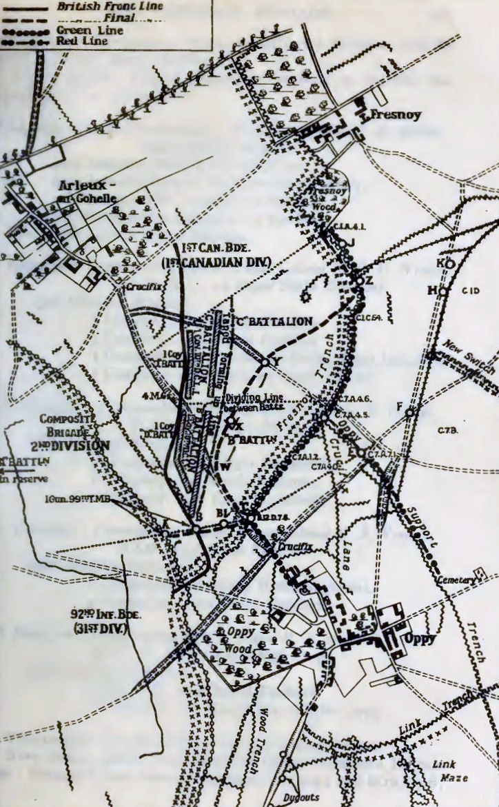
German defences around Oppy Wood, early 1917
1921 · Wikimedia Commons