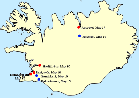

Iceland invasion targets
Initial British targets for the 1940 Invasion of Iceland: Reykjavík along with its harbour and seaplane landing site (Vatnagarðar), nearby landing grounds at Sandskeið and Kaldaðarnes to the east, the nearby anchorage at Hvalfjörður to the north, the harbour at Akureyri in the far north and the nearby landing grounds at Melgerði. The harbour at Hafnarfjörður, near Reykjavík, was also secured early on.
- Date
- 1940
- Mapmaker / publisher
- Originally created and uploaded by Haukurth
- Archive
- Wikimedia Commons
- Type
- map
- Original size
- 485 × 343 pixels
Public domain
Reason: public domain: self.
This status rests on the map's publication history, as researched by Wikimedia Commons. Check it before commercial use.
Read from: Commons licence category: PD-self; no CC BY, CC BY-SA, GFDL or deletion tag on the file page.
Credit line
"Iceland invasion targets" (1940). Originally created and uploaded by Haukurth, via Wikimedia Commons. Public domain. https://commons.wikimedia.org/wiki/File:Iceland_invasion_targets.pngNeed maps for a whole project? Add Find Any Map to Claude and ask for this one by its id: 23910.
More like this

Lunga Point area chart prepared for landing on Guadalcanal 1942
1942 · Wikimedia Commons

Schematics of the Soviet military blockade and invasion of Estonia and Latvia in 1940
1940 · Wikimedia Commons

Iceland
1811 · Wikimedia Commons

Map of the British Empire, 1940
September 28, 1940 · Wikimedia Commons

Iceland
1819 · Wikimedia Commons
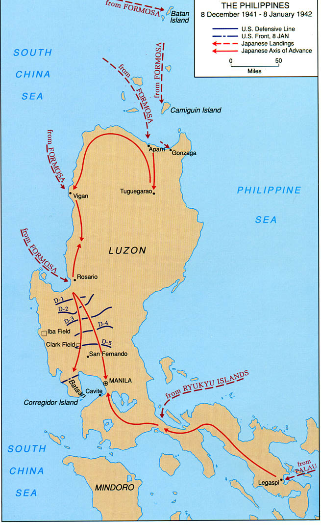
Invasion of the Philippines, 1941
1941 · Wikimedia Commons

Allied Invasion Force
Wikimedia Commons

Map of AAF Ferrying command transport routes, June 1942 (before the first runway at Kindley Field in the British Imperial fortress of Bermuda became active in 1943).
1942 · Wikimedia Commons