

IAPONIA REGNVM
Martino Martini s (1614-1661) map of Japan was to provide the most accurate picture of Japans general outlines for over a century. It was copied extensively throughout the 17th century and replaced in the following centuries by maps that were in most respects inferior. Martini included it in his atlas of China published by Joan Blaeu (1571-1638). His first-hand knowledge of the mainland enabled him to draw Korea correctly as a peninsula.
- Date
- 1655
- Mapmaker / publisher
- Author: Martino Martini Publisher: | author = Author: Martino Martini Publisher: | credit line =
- Place
- Japan
- Archive
- Wikimedia Commons
- Type
- atlas page
- Original size
- 5,500 × 4,120 pixels
Public domainsafest
Reason: its maker died more than 100 years ago, and a faithful scan of a flat work adds no new copyright.
Read from: Commons licence category: PD-Art (PD-old-100); no CC BY, CC BY-SA, GFDL or deletion tag on the file page.
Credit line
"IAPONIA REGNVM" (1655). Author: Martino Martini Publisher: | author = Author: Martino Martini Publisher: | credit line =, via Wikimedia Commons. Public domain. https://commons.wikimedia.org/wiki/File:Atlas_Van_der_Hagen-KW1049B13_053-IAPONIA_REGNVM.jpegNeed maps for a whole project? Add Find Any Map to Claude and ask for this one by its id: 240304.
More like this

Map of China
1655 · Wikimedia Commons

A New and Accurate Description of Japan, the Land of Eso (Hokkaido), and Adjacent Islands from the Newest Discovery for Sale with Legal Permission at the Shop of Pieter Schenk and Gerard Valk in Amsterdam. A 455×552 mm copper-engraved map incorporating accounts (and gross misinformation) from the Du
1652 · Wikimedia Commons

Iaponia regnumcum
Joan Blaeu

Iaponiae insvlae descriptio
1595 · Wikimedia Commons

Iaponia Regnvm Japonia Regnum
1665 · Wikimedia Commons

Iaponia Regnum
c. 1655 · Wikimedia Commons

Nova et accurata Iaponiae, terrae Esonis ac insularum adjacentium ex novissima detectione descriptio
Wikimedia Commons
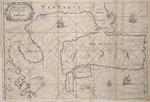
A Perfect Map of the Situation of the Land of Iapan
1663 · Wikimedia Commons