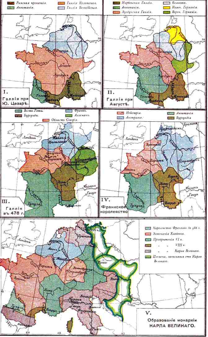

History of France-1
- Date
- 1939
- Place
- Gauls
- Archive
- Wikimedia Commons
- Type
- map
- Original size
- 671 × 1,085 pixels
Public domain
Reason: its maker died long enough ago that the copyright has expired.
This status rests on the map's publication history, as researched by Wikimedia Commons. Check it before commercial use.
Read from: Commons licence category: PD Old; no CC BY, CC BY-SA, GFDL or deletion tag on the file page.
Credit line
"History of France-1" (1939). Wikimedia Commons. Public domain. https://commons.wikimedia.org/wiki/File:History_of_France-1.jpgNeed maps for a whole project? Add Find Any Map to Claude and ask for this one by its id: 254813.
More like this

Gaul in the time of Caesar
1886 · Wikimedia Commons

Map of Roman Gaul in Swedish
1927 · Wikimedia Commons

Carolingian empire 843 888
1923 · Wikimedia Commons

Growth of Frankish Power, 481-814
1926 · Wikimedia Commons

Gallia Vetus
2 sheets

F. W. Putzgers Historischer Schul-Atlas: zur alten, mittleren und neuen Geschichte
Wikimedia Commons

Atlas classique de géographie ancienne et moderne: a l'usage des institutions et des autres établissements d'instruction publique
Wikimedia Commons

Growth of the Frankish kingdoms (Putzger)
1877 · Wikimedia Commons