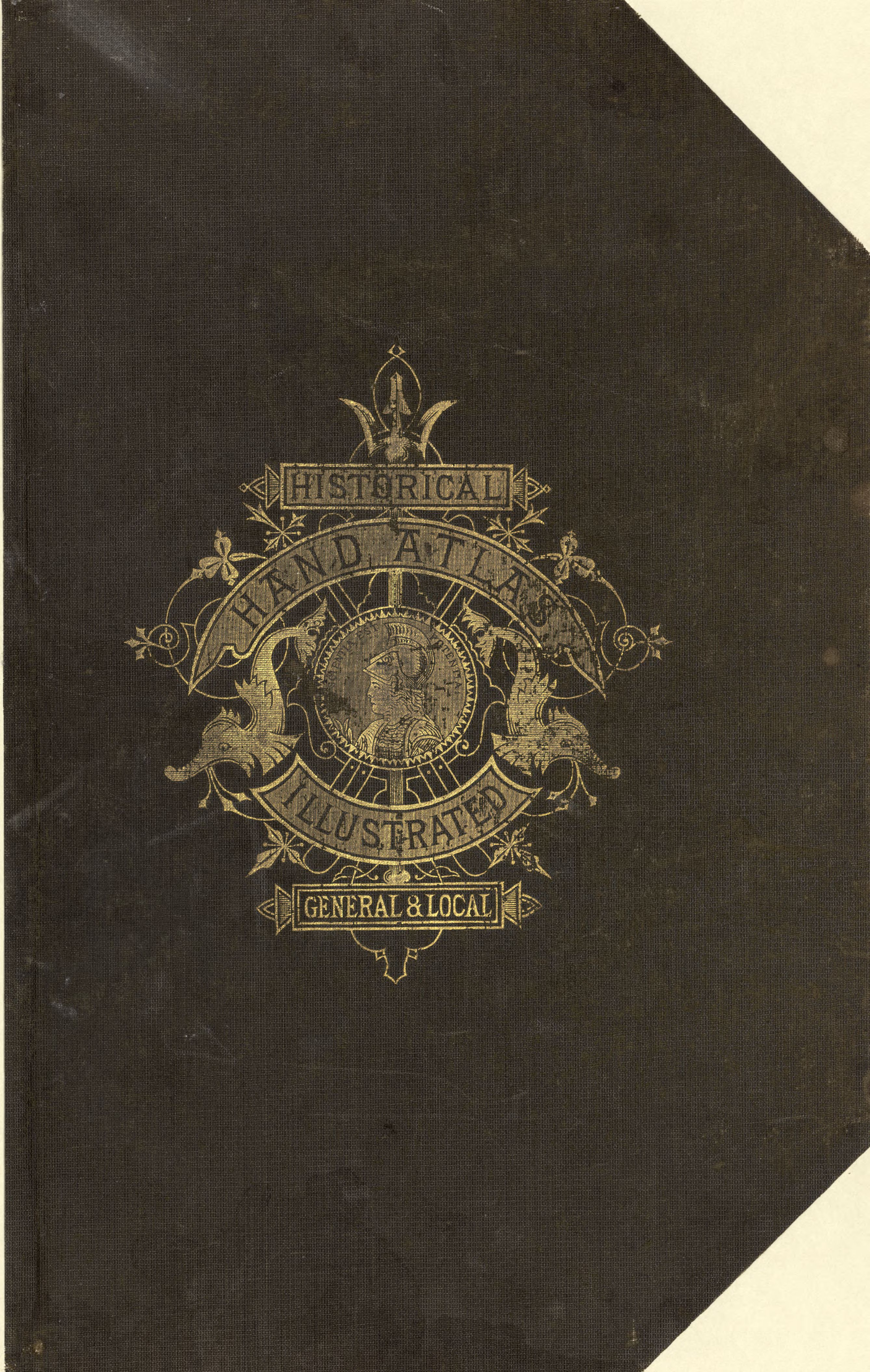
Historical hand-atlas, illustrated, containing large scale copper plate maps of each state and territory of the United States, and the provinces of Canada, together with a complete reference map
Phillips, 11040 LeGear. Atlases of the United States, 6413 Includes indexes, brief histories of Wood and Pleasants County, and brief biographies of early Wood and Pleasants County residents. Vendor: John Carbonell (Copy 2) Acquisitions control no. 2007-054 (Copy 2)
- Date
- 1882
- Mapmaker / publisher
- H.H. Hardesty (Firm)
- Archive
- Library of Congress (via Wikimedia Commons)
- Type
- atlas page
- Sheets
- 25
- Original size
- 2,676 × 4,222 pixels
Public domainsafest
Reason: its maker died more than 100 years ago.
Read from: Commons licence category: PD-old-100-expired; no CC BY, CC BY-SA, GFDL or deletion tag on the file page.
Credit line
"Historical hand-atlas, illustrated, containing large scale copper plate maps of each state and territory of the United States, and the provinces of Canada, together with a complete reference map" (1882). H.H. Hardesty (Firm). Library of Congress, Geography and Map Division, via Wikimedia Commons. Public domain. https://commons.wikimedia.org/wiki/File:Historical_hand-atlas,_illustrated,_containing_large_scale_copper_plate_maps_of_each_state_and_territory_of_the_United_States,_and_the_provinces_of_Canada,_together_with_a_complete_reference_map_LOC_map56000501-1.jpgNeed maps for a whole project? Add Find Any Map to Claude and ask for this one by its id: 13701.
All 25 sheets
Each sheet links to its file at the archive; the image link is the full-size scan.