

Historical Atlas
- Date
- 1763–1923
- Place
- Canada
- Archive
- Wikimedia Commons
- Type
- atlas page
- Original size
- 1,651 × 1,010 pixels
Public domainsafest
Reason: its US copyright has expired (published before 1931).
Read from: Commons licence category: PD US expired; no CC BY, CC BY-SA, GFDL or deletion tag on the file page.
Credit line
"Historical Atlas" (1763–1923). Wikimedia Commons. Public domain. https://commons.wikimedia.org/wiki/File:British_colonies_1763-76_shepherd1923.jpgNeed maps for a whole project? Add Find Any Map to Claude and ask for this one by its id: 295707.
More like this

C. 1763-1776 British Colonies in North America
c. 1911 · Wikimedia Commons

The British Colonies 1763 to 1776
1763 · Wikimedia Commons

A map of the British dominions in North America, according to the Treaty in 1763
1773 · New York Public Library

Canada newfoundland 1926shephard
December 18, 2006 · Wikimedia Commons

An accurate map of the British Empire in Nth. America as settled by the preliminaries in 1762.
1762 · NYPL

C. 1613-1760 English Colonies in North America (New England)
c. 1911 · Wikimedia Commons

A new and accurate map of the British dominions in America, according to the Treaty of 1763, divided into the several provinces and jurisdictions - projected upon the best authorities and astronomical
1763 · Library of Congress
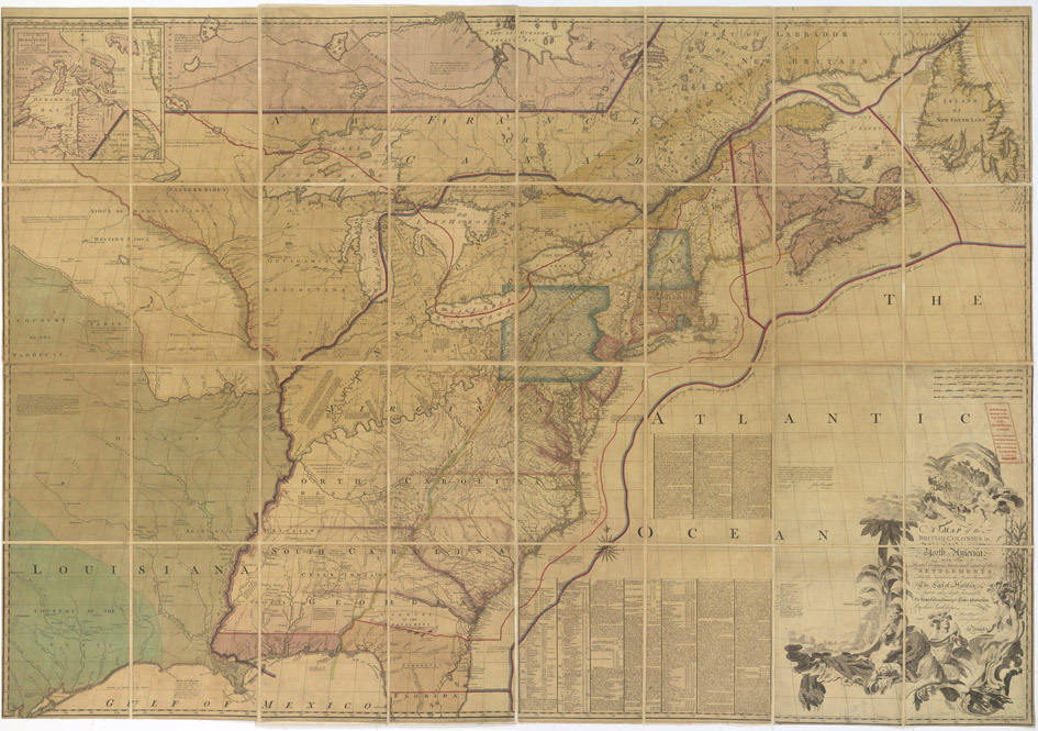
Annotated Map of the British Colonies in North America with the Roads, Distances, Limits and Extent of the Settlements
1796–1798 · U.S. National Archives