

Haus Bürgel Grundriss 1894
- Date
- 1894
- Mapmaker / publisher
- Provinzialverband der Rheinprovinz
- Archive
- Wikimedia Commons
- Type
- map
- Original size
- 952 × 1,244 pixels
Public domain
Reason: its maker died long enough ago that the copyright has expired.
This status rests on the map's publication history, as researched by Wikimedia Commons. Check it before commercial use.
Read from: Commons licence category: PD Old; no CC BY, CC BY-SA, GFDL or deletion tag on the file page.
Credit line
"Haus Bürgel Grundriss 1894" (1894). Provinzialverband der Rheinprovinz, via Wikimedia Commons. Public domain. https://commons.wikimedia.org/wiki/File:Haus_B%C3%BCrgel_Grundriss_1894.jpgNeed maps for a whole project? Add Find Any Map to Claude and ask for this one by its id: 145133.
More like this

Römisches Badegebäude des Vicus von Veldidena, 3. bis 4. Jahrhundert n.Chr. in Innsbruck-Wilten. Befundskizze der Grabung von 2010, Anton Höck.
July 22, 2015 · Wikimedia Commons
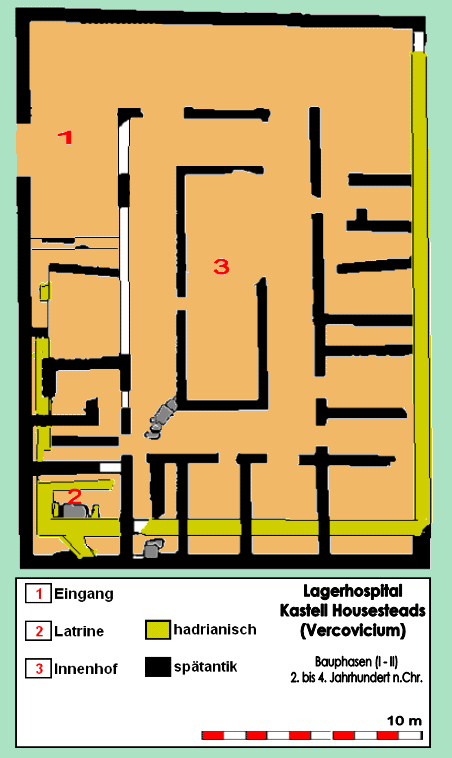
Lagerhospital Housesteads BP
August 2, 2016 · Wikimedia Commons

Plattegrond van paleis Vrijburg, ca. 1636-1644 Friburgum (titel op object), BI-1892-3415-42
1645–1647 · Wikimedia Commons

Ausschnitt aus der Tabula Peutingeriana
1887 · Wikimedia Commons

Vegesacker Hafen - Grundriss 1766
1893 · Wikimedia Commons

Plan Inchtuthil William Roy
c. 1755 · Wikimedia Commons

Headquarters of Maj. Genl. Augur, Including Offices of Provost Marshal, Commissary of Musters, Chief of Ordnance and Printing. Washington, D.C., Sept. 1st, 1865. Ground plan of the buildings located at the corner of Pennsylvania Avenue and Fifteenth and a Half Street, North.
September 1, 1865 · U.S. National Archives

Forma Urbirs Romae - Domus Vettii Agorii Praetextati
1893 · Wikimedia Commons