

Hässleholm 1865
- Date
- 1865
- Mapmaker / publisher
- Topografiska corpsen
- Place
- Sweden
- Archive
- Wikimedia Commons
- Type
- map
- Original size
- 1,252 × 1,032 pixels
Public domain
Reason: its maker died long enough ago that the copyright has expired.
This status rests on the map's publication history, as researched by Wikimedia Commons. Check it before commercial use.
Read from: Commons licence category: PD Old; no CC BY, CC BY-SA, GFDL or deletion tag on the file page.
Credit line
"Hässleholm 1865" (1865). Topografiska corpsen, via Wikimedia Commons. Public domain. https://commons.wikimedia.org/wiki/File:H%C3%A4ssleholm_1865.jpgNeed maps for a whole project? Add Find Any Map to Claude and ask for this one by its id: 251836.
More like this

Hovsta landskommun
1864 · Wikimedia Commons

Map asen unnen
1893 · Wikimedia Commons

Map of Pilot Knob, Mo., and Vicinity. Wm. Hoelcke, Captn. & Addl. A. de C.
c. 1865 · U.S. National Archives

Map of the Swedish railroad between Köping and Hult 1852
August 18, 2010 · Wikimedia Commons

Hrani, 1866—1887, map
1866–1887 · Wikimedia Commons

Breslau - 35-51
1894 · Wikimedia Commons

Map of Tishomingo County, Mississippi. Compiled under the Direction of Col. George Thom, A.D.C. & Chief of Topl. Engineers, Dept. of the Mississippi.
1861–1865 · U.S. National Archives
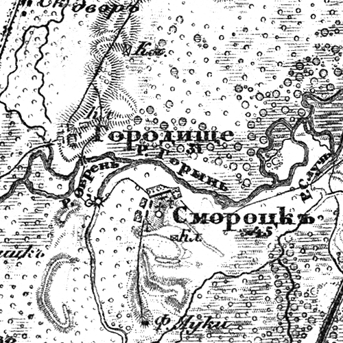
Horodyshche, 1866—1887, map
1866–1887 · Wikimedia Commons