

Guadeloupe sur planisphère de Cantino 1502
The Cantino planisphere, completed by un unknown Portuguese cartographer in 1502, is one of the most precious cartographic monuments of all times. It depicts the world, as it became known to the European after the great exploration voyages of the end of the fifteenth and beginning of the sixteenth century to the Americas, Africa and India. It is now kept in the Biblioteca Universitaria Estense, Modena, Italy |date=1502
- Date
- 1502
- Mapmaker / publisher
- Cantino_planisphere_(1502).jpg: anonymous Portuguese (1502) *derivative work: LPLT
- Place
- Guadeloupe
- Archive
- Wikimedia Commons
- Type
- map
- Original size
- 720 × 540 pixels
Public domainsafest
Reason: public domain: scan (PD-old-100).
Read from: Commons licence category: PD-scan (PD-old-100); no CC BY, CC BY-SA, GFDL or deletion tag on the file page.
Credit line
"Guadeloupe sur planisphère de Cantino 1502" (1502). Cantino_planisphere_(1502).jpg: anonymous Portuguese (1502) *derivative work: LPLT, via Wikimedia Commons. Public domain. https://commons.wikimedia.org/wiki/File:Guadeloupe_sur_planisph%C3%A8re_de_Cantino_1502.jpgNeed maps for a whole project? Add Find Any Map to Claude and ask for this one by its id: 139096.
More like this

Cantino planisphere
1502 · Wikimedia Commons

Cantino planisphere 1502
1502 · Wikimedia Commons

The most important manuscript map surviving from the early Age of Discovery, the Cantino World Map is named for Alberto Cantino, an Italian diplomatic agent in Lisbon who obtained it in 1502 for the D
1502 · Wikimedia Commons
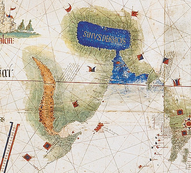
Cantinomap redsea persiangulf
1502 · Wikimedia Commons

Cantino - Americas
1502–2006 · Wikimedia Commons

Anonymous Portuguese map c.1471 (Estense)
c. 1471 · Wikimedia Commons

Pedro Reinel map
1504–1937 · Wikimedia Commons

Cantino Map - North America
1502 · Wikimedia Commons