

Greenough Geology India 1855 (large)
General sketch of the physical and geological features of British India
- Date
- 1855
- Mapmaker / publisher
- Compiled by Greenough, George Bellas (1778-1855). Engraving by A. Petermann
- Place
- India
- Archive
- Wikimedia Commons
- Type
- map
- Original size
- 26,228 × 30,016 pixels
Public domainsafest
Reason: its maker died more than 70 years ago.
Read from: Commons licence category: PD-old-70-expired; no CC BY, CC BY-SA, GFDL or deletion tag on the file page.
Credit line
"Greenough Geology India 1855 (large)" (1855). Compiled by Greenough, George Bellas (1778-1855). Engraving by A. Petermann, via Wikimedia Commons. Public domain. https://commons.wikimedia.org/wiki/File:Greenough_Geology_India_1855_(large).jpgNeed maps for a whole project? Add Find Any Map to Claude and ask for this one by its id: 241744.
More like this

Greenough Geology India 1855
1855 · Wikimedia Commons
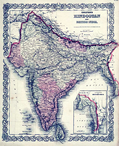
Map of British India, 1855. Published by G. W. and C. B. Colton and Company in New York, 1855. It was derived from an earlier wall map of the world produced by Colton and D. Griffing Johnson. Covers t
1855 · Wikimedia Commons

General Karte von Vorderindien zur Übersicht der Hauptverhältnisse
1836 · Wikimedia Commons

British India John Tallis
1851 · Wikimedia Commons

India or Hindostan.
1855 · Wikimedia Commons

Vorder-Indien oder das Indo-Britische Reich
1855 · Wikimedia Commons

Vorder-Indien oder das Anglo-Indische Reich zur Uebersicht der Politischen Verhältnisse im Jahre 1856 und der Britischen Erwerbungen
1858 · Wikimedia Commons

John Pinkerton's highly decorative map of India, published 1818. Covers the subcontinent from Tibet to Ceylon (Sri Lanka) and from the mouth of the Indus to the Kingdom of Pegu (Burma or Myanmar). Inc
1818 · 1818 Pinkerton Map of India Pakistan