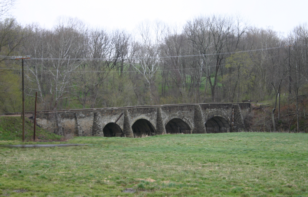

Goose creek bridge
beside modern U.S. 50 in Loudoun County, Virginia
- Date
- April 17, 2007
- Mapmaker / publisher
- Anonymous
- Archive
- Wikimedia Commons
- Type
- map
- Original size
- 1,000 × 640 pixels
Public domain
Reason: public domain: user.
This status rests on the map's publication history, as researched by Wikimedia Commons. Check it before commercial use.
Read from: Commons licence category: PD-user; no CC BY, CC BY-SA, GFDL or deletion tag on the file page; permission field: Released into the public domain (by the author)..
Credit line
"Goose creek bridge" (April 17, 2007). Anonymous, via Wikimedia Commons. Public domain. https://commons.wikimedia.org/wiki/File:Goose_creek_bridge.pngNeed maps for a whole project? Add Find Any Map to Claude and ask for this one by its id: 882.
More like this

Potomac River basin - Clarke, Frederick, and Highland Counties, Virginia, Berkeley, Grant, Hampshire, Hardy, Jefferson, Mineral, Morgan, and Pendleton Counties, West Virginia - existing transportation
1978 · Library of Congress

Aldie Battlefield Virginia
2004 · Wikimedia Commons

Northern Virginia Map - Potomac, Fredericksburg, & Piedmont Railroad
Library of Congress

Potomac River basin - Clarke, Frederick, and Highland Counties, Virginia, Berkeley, Grant, Hampshire, Hardy, Jefferson, Mineral, Morgan, and Pendleton Counties, West Virginia - corridor "H
1978 · Library of Congress

Goose Creek - (Washington D.C.)
1790 · Library of Congress

Potomac River basin - Clarke, Frederick, and Highland Counties, Virginia, Berkeley, Grant, Hampshire, Hardy, Jefferson, Mineral, Morgan, and Pendleton Counties, West Virginia - outstanding water
1978 · Library of Congress

Map of the location of part of the North-Western Turnpike Road
January 27, 1862 · Library of Congress

Potomac River basin - Clarke, Frederick, and Highland Counties, Virginia, Berkeley, Grant, Hampshire, Hardy, Jefferson, Mineral, Morgan, and Pendleton Counties, West Virginia - high quality fishing
1978 · Library of Congress