
Gila National Forest, New Mexico
Relief shown by hachures and spot heights. "New Mexico principal meridian." "Polyconic projection, North American datum." "Map referred to in Executive Order dated Dec. 24, 1931." Includes Executive Order 5765 proclamation, establishing the transfer of lands from the Datil to the Gila National Forest. Stamped in blue ink in lower left margin: 676A.
- Date
- 1931
- Mapmaker / publisher
- United States. Forest Service. Southwestern Region
- Place
- New Mexico
- Archive
- Library of Congress (via Wikimedia Commons)
- Type
- map
- Original size
- 11,235 × 10,085 pixels
Public domain
Reason: its maker died more than 80 years ago.
This status rests on the map's publication history, as researched by Wikimedia Commons. Check it before commercial use.
Read from: Commons licence category: PD-old-80-expired; no CC BY, CC BY-SA, GFDL or deletion tag on the file page.
Credit line
"Gila National Forest, New Mexico" (1931). United States. Forest Service. Southwestern Region. Library of Congress, Geography and Map Division, via Wikimedia Commons. Public domain. https://commons.wikimedia.org/wiki/File:Gila_National_Forest,_New_Mexico_LOC_2006626075.tifNeed maps for a whole project? Add Find Any Map to Claude and ask for this one by its id: 13168.
More like this
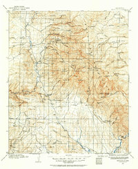
Mogollon, New Mexico: USGS topographic map, 1:125,000 (1910–1912)
1910–1912 · 4 editions
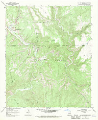
Gila Hot Springs, New Mexico: USGS topographic map, 1:24,000 (1965–1999)
1965–1999 · 2 editions
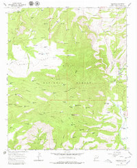
Glenwood, New Mexico: USGS topographic map, 1:24,000 (1965–1999)
1965–1999 · 3 editions
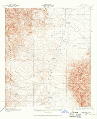
Animas Peak, New Mexico: USGS topographic map, 1:62,500 (1918–1920)
1918–1920 · 4 editions
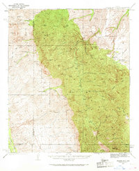
Galiuro Mts, Arizona: USGS topographic map, 1:62,500 (1938–1943)
1938–1943 · 6 editions
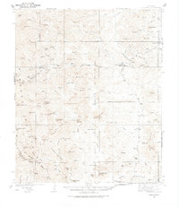
Hillsboro, New Mexico: USGS topographic map, 1:62,500 (1935–1940)
1935–1940 · 3 editions
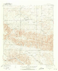
Capitan Mountains, New Mexico: USGS topographic map, 1:62,500 (1935–1940)
1935–1940 · 3 editions
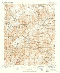
Reserve, New Mexico: USGS topographic map, 1:125,000 (1915–1918)
1915–1918 · 3 editions