
Germany 1-25,000.
Stolberg
Relief shown by contours, shading, hachures, and spot heights. Relief shown by gradient tints on special layered edition sheets. Depths shown by form lines on some sheets. Legend in German, English, and French on verso of some sheets. Includes various issues. Later sheets published by D. Survey, War Office and Air Ministry. On some sheets: AMS M 841. Some maps printed on verso of pre-existing surplus stock. Some sheets include index to adjoining sheets and reliability diagram. Text and index map on verso of sheet 3655. Some sheets overprinted in red ink showing administrative boundaries. Sheets numbered 0519, 1620, 3208, 4025, etc. Includes some duplicate sheets.
- Date
- 1943
- Mapmaker / publisher
- Great Britain. War Office. General Staff. Geographical Section
- Place
- Stolberg
- Archive
- Library of Congress (via Wikimedia Commons)
- Type
- map
- Sheets
- 2
- Original size
- 6,697 × 6,005 pixels
Public domain
Reason: a US government work.
This status rests on the map's publication history, as researched by Wikimedia Commons. Check it before commercial use.
Read from: Commons licence category: PD US Government; no CC BY, CC BY-SA, GFDL or deletion tag on the file page; Commons tags it as a US government work, but its record names no government maker.
Credit line
"Germany 1-25,000." (1943). Great Britain. War Office. General Staff. Geographical Section. Library of Congress, Geography and Map Division, via Wikimedia Commons. Public domain. https://commons.wikimedia.org/wiki/File:Germany_1-25,000._LOC_2008625027-26.jpgNeed maps for a whole project? Add Find Any Map to Claude and ask for this one by its id: 13120.
All 2 sheets
Each sheet links to its file at the archive; the image link is the full-size scan.


More like this
Cold Bay Sheet No. 1 of 25, Alaska: USGS topographic map, 1:25,000 (1944)
1944 · USGS Historical Topographic Map Collection
Cold Bay Sheet No. 20 of 25, Alaska: USGS topographic map, 1:25,000 (1944)
1944 · USGS Historical Topographic Map Collection
Cold Bay Sheet No. 2 of 25, Alaska: USGS topographic map, 1:25,000 (1944)
1944 · USGS Historical Topographic Map Collection
Saint Michael A-1, Alaska: USGS topographic map, 1:63,360 (1952)
1952 · 2 editions
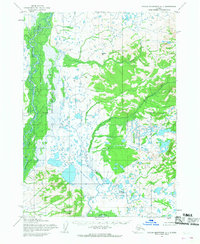
Taylor Mountains A-1, Alaska: USGS topographic map, 1:63,360 (1954)
1954 · 2 editions
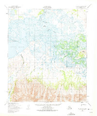
Teller A-1, Alaska: USGS topographic map, 1:63,360 (1950)
1950 · 2 editions
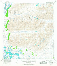
Healy A-1, Alaska: USGS topographic map, 1:63,360 (1949–1952)
1949–1952 · 5 editions
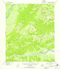
Livengood A-3, Alaska: USGS topographic map, 1:63,360 (1953)
1953 · 4 editions