

German attack, Hartmanswillerkopf, 25 Apr 15
Diagram: The German capture the spurs and summit of Vieil-Armand, surrounding the French in the dip between. The 152nd Regiment counter-attacked and managed to stop the German advance close to the summit.
- Date
- 1920
- Mapmaker / publisher
- Staff writers
- Archive
- Wikimedia Commons
- Type
- map
- Original size
- 482 × 366 pixels
Public domain
Reason: a US government work.
This status rests on the map's publication history, as researched by Wikimedia Commons. Check it before commercial use.
Read from: Commons licence category: PD US; no CC BY, CC BY-SA, GFDL or deletion tag on the file page.
Credit line
"German attack, Hartmanswillerkopf, 25 Apr 15" (1920). Staff writers, via Wikimedia Commons. Public domain. https://commons.wikimedia.org/wiki/File:German_attack,_Hartmanswillerkopf,_25_Apr_15.pngNeed maps for a whole project? Add Find Any Map to Claude and ask for this one by its id: 22593.
More like this

German counter-attack, Hartmannswillerkopf, 22 Dec 15
1920 · Wikimedia Commons

French attack, Hartmannswillerkopf, 22 Mar 15
1920 · Wikimedia Commons

French attack, Hartmannswillerkopf 21 Dec 15
1920 · Wikimedia Commons

French attack at Hartmannswillerkopf, 26 Mar 15
1920 · Wikimedia Commons

French and German positions at Vieil-Armand during the stalemate, 1916-1918
1920 · Wikimedia Commons

German counter-attack at Hill 119, evening, 9 May 1915
1915 · Wikimedia Commons
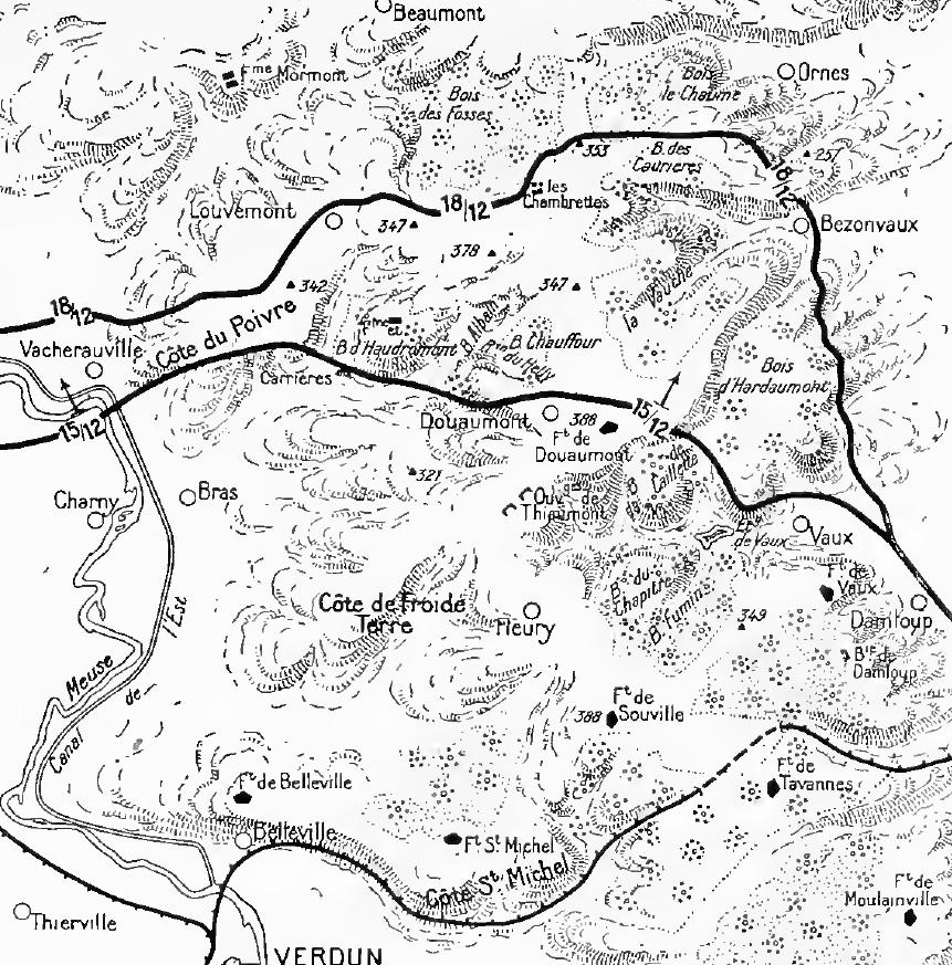
French offensive at Verdun, 15 December 1916
1919 · Wikimedia Commons
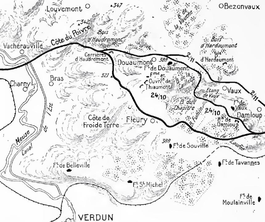
French counter-offensive at Verdun, 24 October 1916
1919 · Wikimedia Commons