

Georgia, Marietta sheet
Relief shown by contours and spot heights. ), S206 "Surveyed in 1887-8." Stamped in red ink in upper left margin: First proof. Stamped in blue ink in lower left margin: 99. Stamped in black ink in lower right margin: G3920 svar.U5.
- Date
- 1888
- Mapmaker / publisher
- Geological Survey (U.S.); Gannett, Henry; Thompson, Gilbert; Hackett, M.; U.S. Coast And Geodetic Survey
- Place
- Georgia
- Archive
- Library of Congress (via Wikimedia Commons)
- Type
- map
- Original size
- 4,686 × 5,959 pixels
Public domainsafest
Reason: its maker died more than 100 years ago.
Read from: Commons licence category: PD-old-100-expired; no CC BY, CC BY-SA, GFDL or deletion tag on the file page.
Credit line
"Georgia, Marietta sheet" (1888). Geological Survey (U.S.); Gannett, Henry; Thompson, Gilbert; Hackett, M.; U.S. Coast And Geodetic Survey. Library of Congress, Geography and Map Division, via Wikimedia Commons. Public domain. https://commons.wikimedia.org/wiki/File:Georgia,_Marietta_sheet_LOC_2007626718.jpgNeed maps for a whole project? Add Find Any Map to Claude and ask for this one by its id: 13094.
More like this

Georgia, Dalton sheet
1886 · Library of Congress
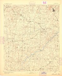
Marietta, Georgia: USGS topographic map, 1:125,000 (1891–1901)
1891–1901 · 7 editions

Georgia, Dahlonega sheet
1886 · Library of Congress

Map of Marietta and vicinity. (June 1864)
1864 · Library of Congress
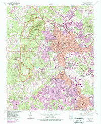
Marietta, Georgia: USGS topographic map, 1:24,000 (1954–1992)
1954–1992 · 8 editions

Part of northern Georgia
1864 · Library of Congress

(Map of southern portion of Cobb County, Georgia, from Marietta to the Chattahoochee River)
1864 · Library of Congress

Part of northern Georgia - no. 2
1864 · Library of Congress