

Geological map of Berkshire, 1911
From a book called Berkshire, by H. W. Monckton, published by Cambridge University Press, 1911. The map is credited to George Philip & Son, Ltd.
- Date
- 1911
- Mapmaker / publisher
- From a book by H. W. Monckton, Cambridge University Press, 1911
- Place
- Berkshire
- Archive
- Wikimedia Commons
- Type
- map
- Original size
- 2,048 × 1,549 pixels
Public domain
Reason: a US government work.
This status rests on the map's publication history, as researched by Wikimedia Commons. Check it before commercial use.
Read from: Commons licence category: PD US; no CC BY, CC BY-SA, GFDL or deletion tag on the file page.
Credit line
"Geological map of Berkshire, 1911" (1911). From a book by H. W. Monckton, Cambridge University Press, 1911, via Wikimedia Commons. Public domain. https://commons.wikimedia.org/wiki/File:Geological_map_of_Berkshire,_1911.jpgNeed maps for a whole project? Add Find Any Map to Claude and ask for this one by its id: 245437.
More like this

Map of Berkshire 1911
1911 · Wikimedia Commons

Berkshire: County map by Robert Morden, first published in 'Britannia' in 1695. This copy from the 1722 edition.
1695 · Wikimedia Commons

A Mapp of Barkshire with its Hundreds.
1667–1726 · Wikimedia Commons

Geological map of Hampshire Basin
1904 · Wikimedia Commons

Geologic map of Benton County, Arkansas
1891 · Library of Congress

EB1911 Ireland - geological map
1911 · Wikimedia Commons

Geologic map, with sections, of portions of Montgomery, Polk, Pike, and Howard counties, Arkansas
1909 · Library of Congress
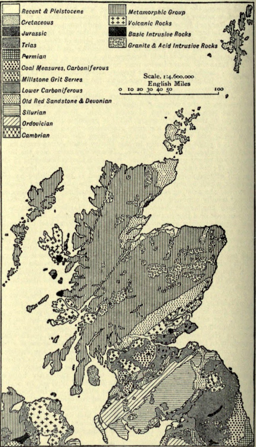
EB1911 Scotland - geological map
1911 · Wikimedia Commons