

Generalized aspect, Platte River Basin, Wyoming
"Source: Base map prepared by SCS, WTSC Carto Unit from USGS 1:1,000,000 Nat. Atlas." "December 1979." Shows irrigated cropland, dry cropland, grassland, riparian and water, shrubgrass, mountain shrub, trees, halophyitc shrub, and rock outcrop. Includes location map. "M7-SN-23942."
- Date
- 1979
- Mapmaker / publisher
- United States. Soil Conservation Service
- Place
- Wyoming
- Archive
- Library of Congress (via Wikimedia Commons)
- Type
- map
- Original size
- 6,416 × 3,234 pixels
Public domainsafest
Reason: a US government work.
Read from: Commons licence category: PD US Government; no CC BY, CC BY-SA, GFDL or deletion tag on the file page.
Credit line
"Generalized aspect, Platte River Basin, Wyoming" (1979). United States. Soil Conservation Service. Library of Congress, Geography and Map Division, via Wikimedia Commons. Public domain. https://commons.wikimedia.org/wiki/File:Generalized_aspect,_Platte_River_Basin,_Wyoming_LOC_2003629411.jpgNeed maps for a whole project? Add Find Any Map to Claude and ask for this one by its id: 12943.
More like this

Rand McNally & Co.'s Wyoming.
1891 · Library of Congress
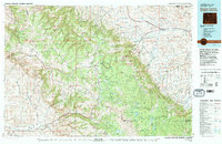
Burgess Junction, Wyoming: USGS topographic map, 1:100,000 (1970–1979)
1970–1979 · 2 editions
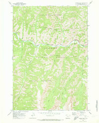
Chimney Rock, Wyoming: USGS topographic map, 1:24,000 (1970–1991)
1970–1991 · 3 editions
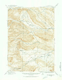
Grass Creek Basin, Wyoming: USGS topographic map, 1:62,500 (1913–1915)
1913–1915 · 5 editions
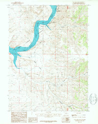
Sage Creek Basin, Wyoming: USGS topographic map, 1:24,000 (1987–1996)
1987–1996 · 2 editions
Carpenter, Wyoming: USGS topographic map, 1:24,000 (1963–1991)
1963–1991 · 2 editions
Cattail Ranch, Wyoming: USGS topographic map, 1:24,000 (1963–1990)
1963–1990 · 2 editions
Pratts Soda Lakes, Wyoming: USGS topographic map, 1:24,000 (1949–1950)
1949–1950 · 3 editions