

Fortification Point
Coastal Advance 5-20 December 1943
- Date
- 1944
- Place
- Oceania
- Archive
- Wikimedia Commons
- Type
- map
- Original size
- 1,410 × 2,345 pixels
Public domain
Reason: published outside the US before 1996 and already public domain in its home country then.
This status rests on the map's publication history, as researched by Wikimedia Commons. Check it before commercial use.
Read from: Commons licence category: PD-1996; no CC BY, CC BY-SA, GFDL or deletion tag on the file page.
Credit line
"Fortification Point" (1944). Wikimedia Commons. Public domain. https://commons.wikimedia.org/wiki/File:Fortification_Point.PNGNeed maps for a whole project? Add Find Any Map to Claude and ask for this one by its id: 24569.
More like this
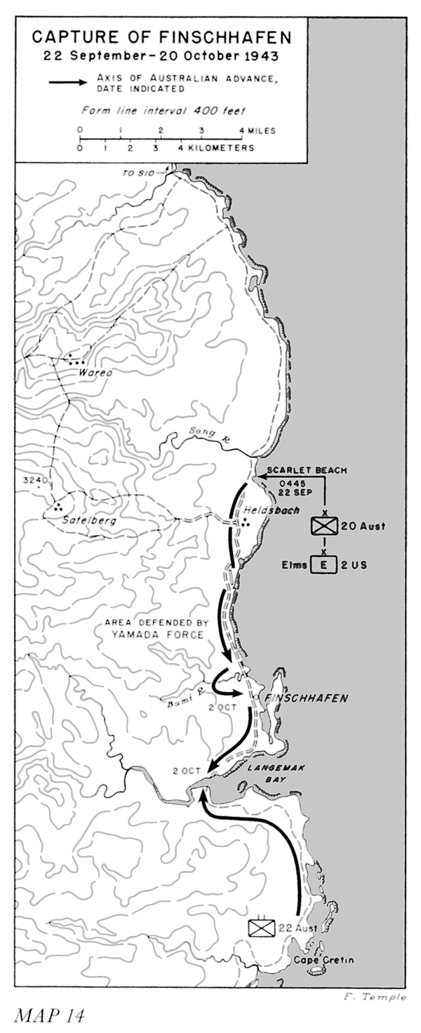
Capture of Finschhafen map (Miller)
1959 · Wikimedia Commons

From the Bumi to Finschhafen
1961 · Wikimedia Commons

Securing the Beachhead (Aitape, April-May 1944)
1944 · Wikimedia Commons

Ramu Valley and Saidor Operations
1943 · Wikimedia Commons

The Envelopment of the Huon Peninsula 1943-44
1966 · Wikimedia Commons

Buna-Sanananda 1942-11-18
1945 · Wikimedia Commons

Operation Cartwheel - Map02
1943 · Wikimedia Commons

Operation Cartwheel - New Guinea and Western New Britain
Wikimedia Commons