

Fort Jaques dans la rivière -.
- Place
- the Gambia
- Archive
- Wikimedia Commons
- Type
- map
- Original size
- 1,024 × 1,356 pixels
Public domain
Reason: its maker died long enough ago that the copyright has expired.
This status rests on the map's publication history, as researched by Wikimedia Commons. Check it before commercial use.
Read from: Commons licence category: PD Old; no CC BY, CC BY-SA, GFDL or deletion tag on the file page.
Credit line
"Fort Jaques dans la rivière -.". Wikimedia Commons. Public domain. https://commons.wikimedia.org/wiki/File:Fort_Jaques_dans_la_rivi%C3%A8re_-...-.jpgNeed maps for a whole project? Add Find Any Map to Claude and ask for this one by its id: 236179.
More like this

Fort of the Duke of Courland in St. Andrews Island in the estuary of the Gambia River, 17th cent
Wikimedia Commons

James Island and Fort. GAMBIA. Surveyd in October 1755 by Justly Watson. Director of Engineers
1755 · Wikimedia Commons

Plan particulier du Bissaux / corrigé par le Sr Gabriel le 21 décembre 1718
1718 · Wikimedia Commons

Plan des environs du Fort de Galam
Wikimedia Commons

Plan of James Island and Fort, Gambia, 1727
1727 · Wikimedia Commons

Carte de la Riviere de Gambra ou Gambi depuis son Embouchure jusqu'a Eropina
1764 · Wikimedia Commons

Emplacement du Fort de Saint-Joseph en Galam (Sénégal), illustration de Nouvelle relation de l’Afrique occidentale, de Jean-Baptiste Labat
1728 · Wikimedia Commons
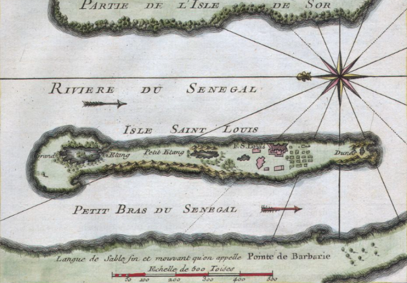
Map of Isle of Saint Louis, Senegal
1750 · Wikimedia Commons