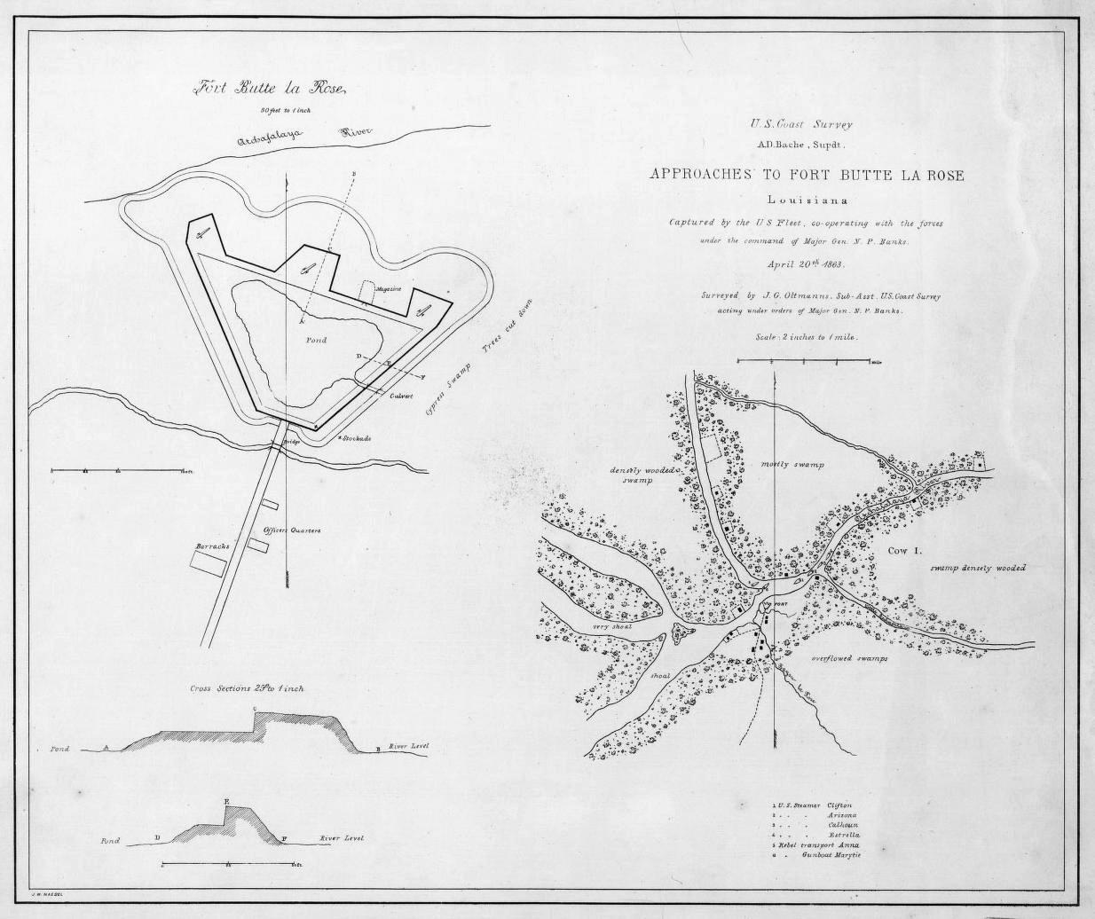

Fort Butte LaRose 1863
Approaches to Fort Butte La Rose, Louisiana, captured by the U.S. fleet, co-operating with the forces under the command of Major Gen. N. P. Banks. April 20th 1863. Surveyed by J. G. Oltmanns, Sub-asst., U.S. Coast Survey, acting under orders of Major Gen. N. P. Banks. J. W. Maedel.
- Date
- 1863
- Mapmaker / publisher
- J. G. Oltmanns
- Place
- Saint Martin Parish, Louisiana
- Archive
- Library of Congress (via Wikimedia Commons)
- Type
- map
- Original size
- 1,234 × 1,036 pixels
Public domainsafest
Reason: a US government work.
Read from: Commons licence category: PD US Government; no CC BY, CC BY-SA, GFDL or deletion tag on the file page.
Credit line
"Fort Butte LaRose 1863" (1863). J. G. Oltmanns. Library of Congress, Geography and Map Division, via Wikimedia Commons. Public domain. https://commons.wikimedia.org/wiki/File:Fort_Butte_LaRose_1863.jpgNeed maps for a whole project? Add Find Any Map to Claude and ask for this one by its id: 415.
More like this

Approaches to Fort Butte La Rose, Louisiana
1863 · Library of Congress

Reconnoissance of the Mississippi River below Forts Jackson and St. Philip - made previous to the reduction by the U.S. Fleet, under the command of flag officer D.G. Farragut, U.S.N.
1862 · Library of Congress

Approaches to New Orleans. Prepared by order of Maj. Gen. N. P. Banks. Henry L. Abbot, Capt. & Chief, Top. Engrs., Feb. 14th, 1863
February 14, 1863 · U.S. National Archives

Map of a part of Louisiana and Mississippi, illustrating the operations of the U.S. Forces in the Department of the Gulf
1863 · Library of Congress

Approaches to Fort Hindman, Arkansas Post, on the Arkansas River - captured by the U.S. Mississippi Squadron, under command of Act'g. Rear Admiral David D. Porter, U.S.N., January 11th, 1863
1863 · Library of Congress

Plan showing the defences of the fort on Red River
1863 · Library of Congress

Map of a part of Louisiana and Mississippi - illustrating the operations of the U.S. Forces in the Department of the Gulf
1863 · Library of Congress

Reconnoissance of the Mississippi River below Forts Jackson and St. Philip - made previous to the reduction by the U.S. Fleet, under the command of flag officer D.G. Farragut, U.S.N.
1862 · Library of Congress