

Folio 141v - A Plan of Rome
The plan of the Eternal City depicted from a bird's eye view, with north at bottom of the page and south at top. Represented are only monuments from antiquity and Christianity, but no residential buildings or any street. The plan seems to be centred on the Capitol.
- Date
- 1411–1416
- Place
- ancient Rome
- Archive
- Wikimedia Commons
- Type
- bird's-eye view
- Original size
- 1,684 × 1,774 pixels
Public domainsafest
Reason: its maker died more than 100 years ago, and a faithful scan of a flat work adds no new copyright.
Read from: Commons licence category: PD-Art (PD-old-100); no CC BY, CC BY-SA, GFDL or deletion tag on the file page.
Credit line
"Folio 141v - A Plan of Rome" (1411–1416). Wikimedia Commons. Public domain. https://commons.wikimedia.org/wiki/File:Folio_141v_-_A_Plan_of_Rome.jpgNeed maps for a whole project? Add Find Any Map to Claude and ask for this one by its id: 20192.
More like this

Constantinople in the 15th century (ver. 1)
Wikimedia Commons

Map of Constantinople, Buondelmonti
1430 · Wikimedia Commons

1420 Sallust de Geneve
1420 · Wikimedia Commons

Antiquae urbis Romae imago accuratiss: ex vetustis monumentis, ex vestigiis videlicet aedificior., moenium ruinis, fide numismatum, monumentis aeneis, plumbeis, saxeis tiglinisque collecta, veter. denique auctorum fide confirmata, in hãc tabulam redacta atque descripta a Pyrrho Ligorio romano per X
1552–1553 · Ancient Rome, plate 1 of 2

EB 1911 Map Fig 7
c. 1911 · Wikimedia Commons
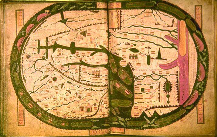
World map.
Wikimedia Commons

Panorama över Rom från 1400-talet, Nordisk familjebok
1400 · Wikimedia Commons

The Topography and Monuments of Ancient Rome cropped
1911 · Wikimedia Commons