

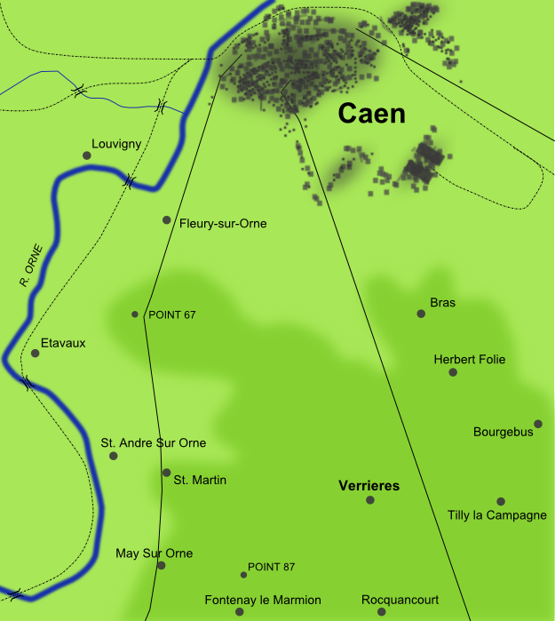
Falaise Pocket map
Map of the:en:Falaise PocketDownloaded from:en:Category:Maps of the history of Europe:en:Category:Maps of World War II in Europe
- Archive
- Wikimedia Commons
- Type
- map
- Original size
- 426 × 700 pixels
Public domainsafest
Reason: a US government work (US Military).
Read from: Commons licence category: PD US Military; no CC BY, CC BY-SA, GFDL or deletion tag on the file page.
Credit line
"Falaise Pocket map". Wikimedia Commons. Public domain. https://commons.wikimedia.org/wiki/File:Falaise_Pocket_map.jpgNeed maps for a whole project? Add Find Any Map to Claude and ask for this one by its id: 24343.
More like this

Falaise Pocket map Hebrew
Wikimedia Commons

Colmar Pocket Map
2007 · Wikimedia Commons

Kamenets-Podolsk pocket
December 15, 2007 · Wikimedia Commons

1939-1940-battle of france-plan-evolution
1939 · Wikimedia Commons

Battle for Carentan - Map
Wikimedia Commons

Crossing of the Rhine
Wikimedia Commons
Geography of Verrieres
June 13, 2008 · Wikimedia Commons

OEF-map-6
1944 · Wikimedia Commons